Flash Flooding Risk Continues in Texas; Wildfire Smoke Impacts in the East
Widespread, life-threatening considerable flash flooding is expected in south-central Texas through at least Friday. Catastrophic river flooding and rapid rises on small streams, arroyos, and typically dry washes are expected in the Texas Hill Country. Wildfire smoke is impacting air quality across much of the Great Lakes region into the Northeast U.S. with Air Quality Alerts in effect. Read More >

Current conditions at
Concordia, Blosser Municipal Airport (KCNK)
Lat: 39.55° N Lon: 97.65° W Elev: 1486 ft.
Fair
71°F
22°C
| Humidity | 87% |
| Wind Speed | Calm |
| Barometer | 30.09 in (1017.3 mb) |
| Dewpoint | 67°F (19°C) |
| Visibility | 10.00 mi |
| Last update | 16 Jul 1:55 am CDT |
Detailed forecast for
Mitchell County
Overnight
Clear. Lows in the upper 60s. Southeast winds around 10 mph.
Thursday
Sunny in the morning then becoming partly cloudy. Patchy fog in the morning. Highs in the lower 90s. South winds around 10 mph.
Thursday Night
Mostly clear. Lows in the lower 70s. South winds around 10 mph.
Friday
Sunny. Highs in the mid 90s. South winds around 10 mph.
Friday Night
Clear. Lows in the lower 70s. South winds around 10 mph.
Saturday
Sunny. Highs in the mid 90s.
Saturday Night
Clear. Lows in the mid 70s.
Sunday
Sunny. Highs in the upper 90s.
Sunday Night
Clear. Lows in the mid 70s.
Monday
Mostly sunny. Highs around 100.
Monday Night
Mostly clear with a 20 percent chance of showers and thunderstorms. Lows in the mid 70s.
Tuesday
Partly cloudy with a 20 percent chance of showers and thunderstorms. Highs in the mid 90s.
Tuesday Night
Mostly clear with a 20 percent chance of showers and thunderstorms. Lows in the lower 70s.
Wednesday
Partly cloudy with a 20 percent chance of showers and thunderstorms. Highs in the lower 90s.
Additional Forecasts and Information
Basemap Options
Click map to change the forecast location
Loading map...
 Forecast Area
Additional Resources
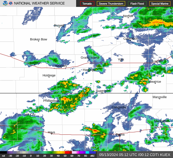
Radar & Satellite Image

Hourly Weather Forecast