Flooding Threat Continues in Portions of Texas; Poor Air Quality in the Great Lakes through the Mid-Atlantic
Widespread life-threatening flash and urban flooding continues in south-central Texas, with considerable flooding impacts possible across central Texas. Wildfire smoke is impacting air quality across much of the Great Lakes region into southern New England and the Mid-Atlantic. Monsoonal thunderstorms may produce isolated to scattered flash flooding across the Southwest into the Great Basin. Read More >

Current conditions at
Monroe Regional Airport (KMLU)
Lat: 32.52° N Lon: 92.03° W Elev: 72 ft.
Fair
89°F
32°C
| Humidity | 63% |
| Wind Speed | SW 6 mph |
| Barometer | 30.18 in (1021.9 mb) |
| Dewpoint | 75°F (24°C) |
| Visibility | 10.00 mi |
| Heat Index | 99°F (37°C) |
| Last update | 17 Jul 10:53 am CDT |
Detailed forecast for
Ouachita Parish
Today
Partly cloudy. Highs in the mid 90s. Southwest winds around 5 mph.
Tonight
Partly cloudy in the evening, then becoming mostly cloudy. Lows in the mid 70s. Southwest winds around 5 mph.
Saturday
Mostly cloudy in the morning, then clearing. Hot with highs in the mid 90s. West winds around 5 mph.
Saturday Night
Mostly clear. Lows in the mid 70s. Southwest winds around 5 mph.
Sunday
Mostly sunny. Hot with highs in the upper 90s. West winds around 5 mph.
Sunday Night
Mostly clear. Lows in the mid 70s.
Monday
Sunny, hot with highs in the upper 90s.
Monday Night
Mostly clear. Lows in the mid 70s.
Tuesday
Mostly sunny. Hot with highs in the upper 90s.
Tuesday Night
Mostly clear. Lows in the upper 70s.
Wednesday
Mostly sunny. Hot with highs in the upper 90s. Heat index values up to 105 in the afternoon.
Wednesday Night
Mostly clear. Lows in the mid 70s.
Thursday
Mostly sunny. Hot with highs in the mid 90s.
Basemap Options
Click map to change the forecast location
Loading map...
 Forecast Area
Additional Resources
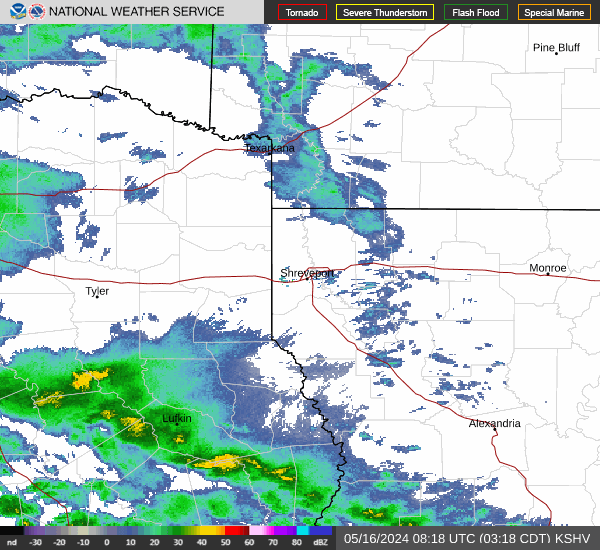
Radar & Satellite Image

Hourly Weather Forecast