Heavy to Excessive Rains in The Four Corners Region and Midwest; Heat Persists in the South-Central U.S.
Repeated rounds of showers and thunderstorms could bring a flash flooding threat across the Four Corners region and from the mid-Mississippi Valley into the lower Great Lakes. Hot temperatures and high humidity will continue to challenge daily records from the Southern Plains to the lower Mississippi Valley. Read More >

Camp Springs / Andrews Air Force Base (KADW)
Lat: 38.82°NLon: 76.85°WElev: 282ft.
Fair
83°F
28°C
| Humidity | 49% |
| Wind Speed | S 8 mph |
| Barometer | 30.29 in (1026.2 mb) |
| Dewpoint | 62°F (17°C) |
| Visibility | 10.00 mi |
| Heat Index | 84°F (29°C) |
| Last update | 16 Sep 2:55 pm EDT |
2 Miles SSW Mitchellville MD
Tonight

Low: 66 °F
Partly Cloudy
Thursday
High: 89 °F
Mostly Sunny
then Slight
Chance
T-stormsThursday Night
Low: 71 °F
Chance
Showers then
Slight Chance
ShowersFriday

High: 86 °F
Mostly Sunny
Friday Night
Low: 63 °F
Partly Cloudy
Saturday
High: 81 °F
Mostly Sunny
Saturday Night

Low: 65 °F
Mostly Cloudy
Sunday
High: 85 °F
Slight Chance
Showers then
Chance
ShowersSunday Night

Low: 66 °F
Showers
Likely
Detailed Forecast
Additional Forecasts and Information
 Forecast Area
ABOUT THIS FORECAST
38.91°N 76.82°W (Elev. 148 ft)


Additional Resources
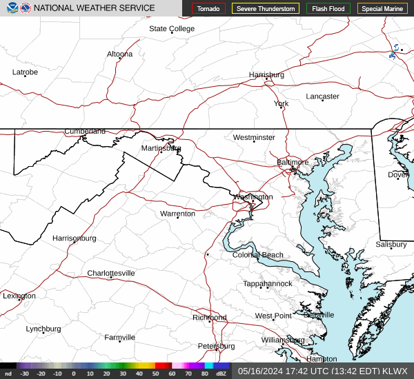
Radar & Satellite Image

Hourly Weather Forecast