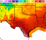
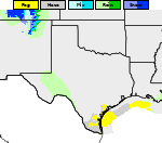
September is National Preparedness Month. Join us each week as we share important safety and preparedness information through our social media accounts. Check out our latest weather safety graphics here!

Hazardous Weather Conditions
Current conditions at
Greenville / Majors (KGVT)
Lat: 33.07°NLon: 96.07°WElev: 535ft.
Fair
95°F
35°C
| Humidity | 44% |
| Wind Speed | S 13 mph |
| Barometer | 29.97 in |
| Dewpoint | 70°F (21°C) |
| Visibility | 10.00 mi |
| Heat Index | 101°F (38°C) |
| Last update | 7 Sep 12:50 pm CDT |
Extended Forecast for
6 Miles SSE Celeste TX
Heat Advisory September 7, 01:21pm until September 8, 08:00pm
NOW until 8:00pm Tue

Heat Advisory
Labor Day

High: 100 °F
Slight Chance
T-stormsTonight

Low: 77 °F
Mostly Clear
Tuesday
High: 100 °F
Sunny then
Slight Chance
T-stormsTuesday Night
Low: 76 °F
Slight Chance
T-storms then
ClearWednesday

High: 99 °F
Hot
Wednesday Night
Low: 76 °F
Mostly Clear
Thursday

High: 98 °F
Sunny
Thursday Night

Low: 75 °F
Partly Cloudy
Detailed Forecast
Labor Day
A 10 percent chance of showers and thunderstorms after 4pm. Sunny and hot, with a high near 100. Heat index values as high as 104. Southeast wind 5 to 10 mph.
Tonight
Mostly clear, with a low around 77. South southeast wind around 5 mph becoming calm in the evening.
Tuesday
A 10 percent chance of showers and thunderstorms after 4pm. Sunny and hot, with a high near 100. Heat index values as high as 104. Light southeast wind becoming south 5 to 10 mph in the morning.
Tuesday Night
A 10 percent chance of showers and thunderstorms before 7pm. Clear, with a low around 76. South southeast wind around 5 mph.
Wednesday
Sunny and hot, with a high near 99. South wind 5 to 10 mph.
Wednesday Night
Mostly clear, with a low around 76. South southeast wind around 5 mph.
Thursday
Sunny, with a high near 98. South southwest wind around 5 mph.
Thursday Night
Partly cloudy, with a low around 75. East wind around 5 mph becoming south after midnight.
Friday
Mostly sunny, with a high near 97. South southwest wind 5 to 10 mph.
Friday Night
Mostly clear, with a low around 75.
Saturday
Sunny, with a high near 98.
Saturday Night
Mostly clear, with a low around 74.
Sunday
Sunny, with a high near 97.
Additional Forecasts and Information
Basemap Options
Click map to change the forecast location
Loading map...
 Forecast Area
ABOUT THIS FORECAST
Point Forecast:
6 Miles SSE Celeste TX
33.22°N 96.16°W (Elev. 597 ft)
33.22°N 96.16°W (Elev. 597 ft)
11:11 am CDT Sep 7, 2026
1pm CDT Sep 7, 2026-6pm CDT Sep 13, 2026


Additional Resources
Radar & Satellite Image
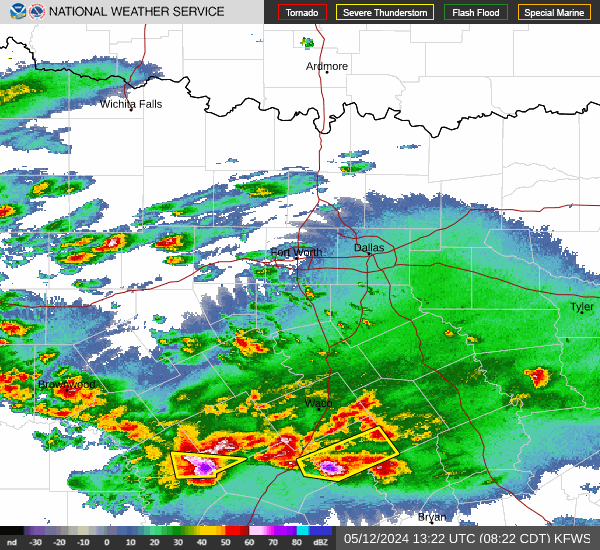

Hourly Weather Forecast