



Hazardous Weather Conditions
Current conditions at
North Myrtle Beach Grand Strand Airport (KCRE)
Lat: 33.82°NLon: 78.72°WElev: 26ft.
Fair
85°F
29°C
| Humidity | 75% |
| Wind Speed | S 8 mph |
| Barometer | 30.04 in (1017.2 mb) |
| Dewpoint | 76°F (24°C) |
| Visibility | 10.00 mi |
| Heat Index | 95°F (35°C) |
| Last update | 1 Sep 4:53 pm EDT |
Extended Forecast for
Longs SC
Heat Advisory September 2, 11:00am until September 2, 08:00pm
Tonight

Low: 74 °F
Mostly Clear
Wednesday
High: 95 °F
Patchy Fog
then SunnyWednesday Night
Low: 74 °F
Mostly Clear
Thursday

High: 94 °F
Sunny
Thursday Night

Low: 74 °F
Clear
Friday
High: 96 °F
Sunny
Friday Night
Low: 74 °F
Clear
Saturday
High: 97 °F
Sunny then
Chance
T-stormsSaturday Night

Low: 73 °F
Chance
T-storms
Detailed Forecast
Tonight
Mostly clear, with a low around 74. South wind around 6 mph becoming calm in the evening.
Wednesday
Patchy fog before 8am. Otherwise, sunny, with a high near 95. Heat index values as high as 108. Calm wind becoming south around 5 mph in the afternoon.
Wednesday Night
Mostly clear, with a low around 74. South wind around 5 mph becoming calm in the evening.
Thursday
Sunny, with a high near 94. Heat index values as high as 108. Calm wind becoming south around 6 mph in the afternoon.
Thursday Night
Clear, with a low around 74. Light south wind.
Friday
Sunny, with a high near 96.
Friday Night
Clear, with a low around 74.
Saturday
A chance of showers and thunderstorms after 2pm. Mostly sunny and hot, with a high near 97. Chance of precipitation is 40%.
Saturday Night
A chance of showers and thunderstorms before 2am. Mostly cloudy, with a low around 73. Chance of precipitation is 50%.
Sunday
Showers likely and possibly a thunderstorm after 2pm. Mostly sunny, with a high near 90. Chance of precipitation is 60%.
Sunday Night
Showers likely and possibly a thunderstorm. Partly cloudy, with a low around 70. Chance of precipitation is 60%.
Labor Day
Mostly sunny, with a high near 87.
Monday Night
Partly cloudy, with a low around 70.
Tuesday
Mostly sunny, with a high near 88.
Additional Forecasts and Information
Basemap Options
Click map to change the forecast location
Loading map...
 Forecast Area
ABOUT THIS FORECAST
Point Forecast:
Longs SC
33.94°N 78.73°W (Elev. 26 ft)
33.94°N 78.73°W (Elev. 26 ft)
3:02 pm EDT Sep 1, 2026
5pm EDT Sep 1, 2026-6pm EDT Sep 8, 2026


Additional Resources
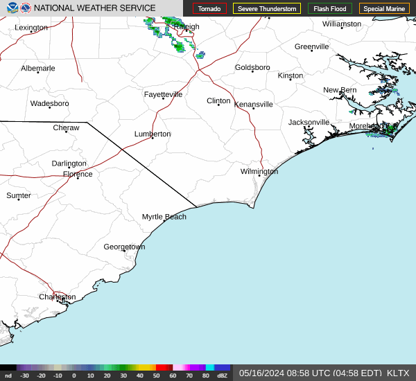
Radar & Satellite Image

Hourly Weather Forecast


