


News Headlines
- Hurricane Peak Winds Throughout History for Wilmington & Myrtle Beach
- See our latest Drought Information Statement...
- 30th Anniv. of Hurricane Fran (1996)....Webinar Recording Now Available
- Revisiting Hurricane Fran's Storm Surge Across SE NC 30 Years Later
- Hurricane Season is Here...Get Prepared and Stay Updated!

Current conditions at
Florence - Florence Regional Airport (KFLO)
Lat: 34.19°NLon: 79.73°WElev: 146ft.
Fair
75°F
24°C
| Humidity | 64% |
| Wind Speed | NE 7 mph |
| Barometer | 30.12 in (1019.7 mb) |
| Dewpoint | 62°F (17°C) |
| Visibility | 10.00 mi |
| Last update | 9 Oct 2:53 pm EDT |
Extended Forecast for
2 Miles WSW Coward SC
Tonight
Low: 66 °F
Cloudy then
Chance
ShowersSaturday

High: 73 °F
Showers
Saturday Night

Low: 69 °F
Showers
Sunday

High: 81 °F
T-storms
Sunday Night
Low: 62 °F
Showers
Likely then
Mostly ClearColumbus Day

High: 82 °F
Sunny
Monday Night

Low: 60 °F
Mostly Clear
Tuesday
High: 86 °F
Sunny
Tuesday Night

Low: 62 °F
Clear
Detailed Forecast
Tonight
A chance of showers, mainly after 3am. Cloudy, with a low around 66. Northeast wind 5 to 10 mph, with gusts as high as 16 mph. Chance of precipitation is 30%. New precipitation amounts of less than a tenth of an inch possible.
Saturday
Showers, with thunderstorms also possible after 9am. High near 73. East wind around 14 mph, with gusts as high as 28 mph. Chance of precipitation is 90%. New rainfall amounts between three quarters and one inch possible.
Saturday Night
Showers and possibly a thunderstorm. Low around 69. East wind 6 to 13 mph, with gusts as high as 21 mph. Chance of precipitation is 90%. New rainfall amounts between a half and three quarters of an inch possible.
Sunday
Showers and possibly a thunderstorm. High near 81. Southwest wind 6 to 13 mph, with gusts as high as 22 mph. Chance of precipitation is 80%. New rainfall amounts between a quarter and half of an inch possible.
Sunday Night
Showers likely and possibly a thunderstorm before 8pm. Partly cloudy, with a low around 62. Southwest wind 5 to 8 mph, with gusts as high as 15 mph. Chance of precipitation is 60%. New precipitation amounts of less than a tenth of an inch, except higher amounts possible in thunderstorms.
Columbus Day
Sunny, with a high near 82.
Monday Night
Mostly clear, with a low around 60.
Tuesday
Sunny, with a high near 86.
Tuesday Night
Clear, with a low around 62.
Wednesday
Sunny, with a high near 85.
Wednesday Night
Mostly clear, with a low around 60.
Thursday
Mostly sunny, with a high near 80.
Thursday Night
Mostly clear, with a low around 58.
Friday
Sunny, with a high near 80.
Additional Forecasts and Information
Basemap Options
Click map to change the forecast location
Loading map...
 Forecast Area
ABOUT THIS FORECAST
Point Forecast:
2 Miles WSW Coward SC
33.95°N 79.77°W (Elev. 95 ft)
33.95°N 79.77°W (Elev. 95 ft)
3:02 pm EDT Oct 9, 2026
3pm EDT Oct 9, 2026-6pm EDT Oct 16, 2026


Additional Resources
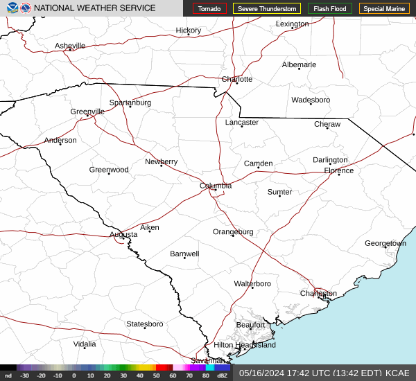
Radar & Satellite Image

Hourly Weather Forecast


