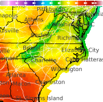
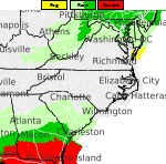
Hazardous Weather Conditions
Current conditions at
Hatteras, Mitchell Field (KHSE)
Lat: 35.23°NLon: 75.62°WElev: 16ft.
Fair
58°F
14°C
| Humidity | 90% |
| Wind Speed | Vrbl 6 mph |
| Barometer | 30.25 in (1024.2 mb) |
| Dewpoint | 55°F (13°C) |
| Visibility | 10.00 mi |
| Last update | 20 Nov 11:51 pm EST |
Extended Forecast for
Ocracoke NC
High Surf Advisory November 21, 07:00pm until November 23, 01:00am
Overnight

Low: 60 °F
Mostly Cloudy
Saturday

High: 68 °F
Mostly Cloudy
Saturday Night

Low: 65 °F
Showers
Sunday

High: 68 °F
Showers
Sunday Night

Low: 61 °F
Slight Chance
ShowersMonday

High: 66 °F
Mostly Sunny
Monday Night

Low: 58 °F
Partly Cloudy
Tuesday

High: 61 °F
Mostly Cloudy
and WindyTuesday Night

Low: 58 °F
Chance
Showers and
Windy
Detailed Forecast
Overnight
Mostly cloudy, with a low around 60. Northeast wind around 14 mph, with gusts as high as 18 mph.
Saturday
Mostly cloudy, with a high near 68. Northeast wind 14 to 16 mph, with gusts as high as 22 mph.
Saturday Night
Showers, with thunderstorms also possible after 4am. Low around 65. East wind around 18 mph, with gusts as high as 24 mph. Chance of precipitation is 90%. New rainfall amounts between a half and three quarters of an inch possible.
Sunday
Showers and possibly a thunderstorm. High near 68. East wind around 15 mph becoming southwest in the afternoon. Winds could gust as high as 20 mph. Chance of precipitation is 80%. New precipitation amounts between a quarter and half of an inch possible.
Sunday Night
A slight chance of showers before 1am. Mostly cloudy, with a low around 61. West wind 9 to 11 mph. Chance of precipitation is 20%.
Monday
Mostly sunny, with a high near 66.
Monday Night
Partly cloudy, with a low around 58.
Tuesday
Mostly cloudy, with a high near 61. Windy.
Tuesday Night
A chance of showers. Mostly cloudy, with a low around 58. Windy. Chance of precipitation is 40%.
Wednesday
Showers likely, then showers and possibly a thunderstorm after 1pm. High near 65. Windy. Chance of precipitation is 80%.
Wednesday Night
Showers likely. Mostly cloudy, with a low around 59. Windy. Chance of precipitation is 70%.
Thanksgiving Day
A chance of showers. Partly sunny, with a high near 62. Breezy. Chance of precipitation is 40%.
Thursday Night
A chance of showers. Partly cloudy, with a low around 52. Breezy. Chance of precipitation is 30%.
Friday
Mostly sunny, with a high near 57.
Additional Forecasts and Information
Basemap Options
Click map to change the forecast location
Loading map...
 Forecast Area
ABOUT THIS FORECAST
Point Forecast:
Ocracoke NC
35.12°N 75.92°W (Elev. 0 ft)
35.12°N 75.92°W (Elev. 0 ft)
2:55 pm EST Nov 20, 2026
12am EST Nov 21, 2026-6pm EST Nov 27, 2026


Additional Resources
Radar & Satellite Image
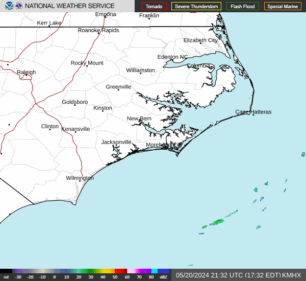

Hourly Weather Forecast