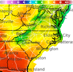
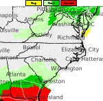
Widespread Precipitation and Gusty Winds in the West; Snow from the Great Lakes to the Northeast

A Pacific storm system is expected to bring strong winds and more precipitation to the western U.S., along with the likelihood of snowfall into the Sierra Nevada. Accumulating snow will develop downwind from the Great Lakes into parts of the Northeast through Saturday. Polar air will surge into the eastern half of the country this weekend. Read More >

Hazardous Weather Conditions

Current conditions at

Cleveland Regional Jetport (KRZR)

Lat: 35.21°NLon: 84.8°WElev: 860ft.
Overcast

52°F

11°C

Humidity 67%
Wind Speed Calm
Barometer 29.80 in
Dewpoint 41°F (5°C)
Visibility 10.00 mi
Last update 12 Nov 8:35 pm EST
Extended Forecast for

2 Miles E Birchwood TN

  • Tonight

    Tonight: A chance of sprinkles before 9pm.  Partly cloudy, with a low around 33. Northwest wind around 5 mph, with gusts as high as 20 mph.

    Low: 33 °F

    Chance
    Sprinkles

  • Friday

    Friday: Mostly sunny, with a high near 48. Northwest wind 5 to 10 mph, with gusts as high as 20 mph.

    High: 48 °F

    Mostly Sunny

  • Friday Night

    Friday Night: Mostly cloudy, with a low around 32. Northwest wind around 5 mph becoming calm  in the evening. Winds could gust as high as 20 mph.

    Low: 32 °F

    Mostly Cloudy

  • Saturday

    Saturday: Sunny, with a high near 51. Light north wind increasing to 5 to 10 mph in the morning.

    High: 51 °F

    Sunny

  • Saturday Night

    Saturday Night: Mostly clear, with a low around 29. North wind around 5 mph becoming calm.

    Low: 29 °F

    Mostly Clear

  • Sunday

    Sunday: Sunny, with a high near 54. Calm wind becoming northeast around 5 mph in the morning.

    High: 54 °F

    Sunny

  • Sunday Night

    Sunday Night: Partly cloudy, with a low around 30. Calm wind.

    Low: 30 °F

    Partly Cloudy

  • Monday

    Monday: Mostly sunny, with a high near 56.

    High: 56 °F

    Mostly Sunny

  • Monday Night

    Monday Night: Mostly clear, with a low around 31.

    Low: 31 °F

    Mostly Clear

Detailed Forecast

Tonight
A chance of sprinkles before 9pm. Partly cloudy, with a low around 33. Northwest wind around 5 mph, with gusts as high as 20 mph.
Friday
Mostly sunny, with a high near 48. Northwest wind 5 to 10 mph, with gusts as high as 20 mph.
Friday Night
Mostly cloudy, with a low around 32. Northwest wind around 5 mph becoming calm in the evening. Winds could gust as high as 20 mph.
Saturday
Sunny, with a high near 51. Light north wind increasing to 5 to 10 mph in the morning.
Saturday Night
Mostly clear, with a low around 29. North wind around 5 mph becoming calm.
Sunday
Sunny, with a high near 54. Calm wind becoming northeast around 5 mph in the morning.
Sunday Night
Partly cloudy, with a low around 30. Calm wind.
Monday
Mostly sunny, with a high near 56.
Monday Night
Mostly clear, with a low around 31.
Tuesday
Sunny, with a high near 60.
Tuesday Night
Mostly clear, with a low around 31.
Wednesday
Sunny, with a high near 64.
Wednesday Night
Mostly clear, with a low around 32.
Thursday
Mostly sunny, with a high near 67.
Basemap Options
Click map to change the forecast location
Loading map...

ABOUT THIS FORECAST

 
Point Forecast:
2 Miles E Birchwood TN
 35.37°N 84.97°W (Elev. 879 ft)
6:06 pm EST Nov 12, 2026
8pm EST Nov 12, 2026-6pm EST Nov 19, 2026
 
Get as KML Get as XML

Additional Resources

Radar & Satellite Image
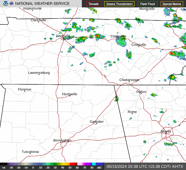
Link to Local Radar Data Link to Satellite Data

Hourly Weather Forecast

National Digital Forecast Database