



Extreme Heat Continues; Severe Thunderstorms into Upper Midwest; Strong Bering Sea Storm
Wildfires and poor air quality continue for the Pacific Northwest, Rockies and extended into the Plains. Severe thunderstorms possible for the northern Plains and upper Midwest on Monday along a frontal boundary. Another boundary will focus showers and thunderstorms for the eastern seaboard with localized heavy rainfall possible. For Alaska, a strong Bering Sea storm will bring winds and rainfall. Read More >

Hazardous Weather Conditions
Greeneville-Greene County Municipal Airport (KGCY)
Lat: 36.2°NLon: 82.81°WElev: 1608ft.79°F
26°C
| Humidity | 79% |
| Wind Speed | Calm |
| Barometer | 29.77 in |
| Dewpoint | 72°F (22°C) |
| Visibility | 10.00 mi |
| Heat Index | 82°F (28°C) |
| Last update | 2 Aug 5:55 pm EDT |
Tusculum TN
Tonight
Low: 67 °F
Showers then
Mostly CloudyMonday
High: 81 °F
Chance
Showers then
Chance
T-stormsMonday Night
Low: 65 °F
Chance
T-storms then
Partly CloudyTuesday
High: 84 °F
Slight Chance
T-storms then
Showers
LikelyTuesday Night
Low: 66 °F
Showers
Likely then
Partly CloudyWednesday
High: 83 °F
Chance
T-storms then
T-stormsWednesday Night
Low: 66 °F
T-storms then
Slight Chance
T-stormsThursday
High: 84 °F
Slight Chance
T-storms then
Showers
LikelyThursday Night
Low: 67 °F
Showers
Likely then
Slight Chance
T-storms
Detailed Forecast
Additional Forecasts and Information
 Forecast Area
ABOUT THIS FORECAST
36.19°N 82.75°W (Elev. 1493 ft)


Additional Resources
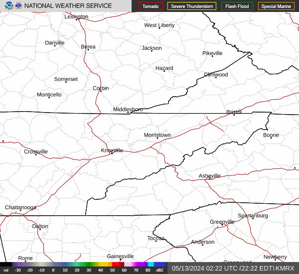
Radar & Satellite Image

Hourly Weather Forecast


