

The Remnants of Isaias Bring Locally Heavy Rain Through this Evening

The remnants of Isaias will bring locally heavy rain to the area through this evening. This combined with already saturated soils from heavy rain Saturday night could result in isolated instances of flash flooding, with a Flash Flood Watch in effect until 9 PM this evening for portions of the forecast area. Please keep updated on the latest forecast and have a way to receive warnings. Read More >

Current conditions at

Pikeville Pike County Airport and Hatcher Field (KPBX)

Lat: 37.56°NLon: 82.57°WElev: 1473ft.

Drizzle

62°F

17°C

Humidity 99%
Wind Speed W 8 mph
Barometer 29.95 in
Dewpoint 62°F (17°C)
Visibility 3.00 mi
Last update 11 Oct 8:15 pm EDT
Extended Forecast for

Williamson WV

  • Tonight

    Tonight: Showers, mainly before midnight.  Patchy fog. Low around 61. West wind around 8 mph.  Chance of precipitation is 90%. New precipitation amounts of less than a tenth of an inch possible.

    Low: 61 °F

    Showers and
    Patchy Fog
    then Chance
    Showers and
    Patchy Fog

  • Columbus Day

    Columbus Day: Patchy fog before 9am.  Otherwise, cloudy, then gradually becoming mostly sunny, with a high near 75. West wind 3 to 5 mph.

    High: 75 °F

    Patchy Fog
    then Mostly
    Sunny

  • Monday Night

    Monday Night: Mostly cloudy, then gradually becoming clear, with a low around 60. Calm wind.

    Low: 60 °F

    Decreasing
    Clouds

  • Tuesday

    Tuesday: Sunny, with a high near 83. Light and variable wind becoming southwest 5 to 7 mph in the morning.

    High: 83 °F

    Sunny

  • Tuesday Night

    Tuesday Night: Clear, with a low around 63. Southwest wind around 5 mph becoming calm  in the evening.

    Low: 63 °F

    Clear

  • Wednesday

    Wednesday: Mostly sunny, with a high near 84.

    High: 84 °F

    Mostly Sunny

  • Wednesday Night

    Wednesday Night: A 30 percent chance of showers after 2am.  Partly cloudy, with a low around 64.

    Low: 64 °F

    Partly Cloudy
    then Chance
    Showers

  • Thursday

    Thursday: A 30 percent chance of showers.  Partly sunny, with a high near 77.

    High: 77 °F

    Chance
    Showers

  • Thursday Night

    Thursday Night: Mostly cloudy, with a low around 64.

    Low: 64 °F

    Mostly Cloudy

Detailed Forecast

Tonight
Showers, mainly before midnight. Patchy fog. Low around 61. West wind around 8 mph. Chance of precipitation is 90%. New precipitation amounts of less than a tenth of an inch possible.
Columbus Day
Patchy fog before 9am. Otherwise, cloudy, then gradually becoming mostly sunny, with a high near 75. West wind 3 to 5 mph.
Monday Night
Mostly cloudy, then gradually becoming clear, with a low around 60. Calm wind.
Tuesday
Sunny, with a high near 83. Light and variable wind becoming southwest 5 to 7 mph in the morning.
Tuesday Night
Clear, with a low around 63. Southwest wind around 5 mph becoming calm in the evening.
Wednesday
Mostly sunny, with a high near 84.
Wednesday Night
A 30 percent chance of showers after 2am. Partly cloudy, with a low around 64.
Thursday
A 30 percent chance of showers. Partly sunny, with a high near 77.
Thursday Night
Mostly cloudy, with a low around 64.
Friday
Showers likely, mainly before 2pm. Partly sunny, with a high near 73. Chance of precipitation is 60%.
Friday Night
A 30 percent chance of showers. Mostly cloudy, with a low around 44.
Saturday
Partly sunny, with a high near 53.
Saturday Night
Partly cloudy, with a low around 36.
Sunday
Areas of frost. Otherwise, sunny, with a high near 60.
Basemap Options
Click map to change the forecast location
Loading map...

ABOUT THIS FORECAST

 
Point Forecast:
Williamson WV
 37.68°N 82.27°W (Elev. 902 ft)
8:20 pm EDT Oct 11, 2026
8pm EDT Oct 11, 2026-6pm EDT Oct 18, 2026
 
Get as KML Get as XML

Additional Resources

Radar & Satellite Image
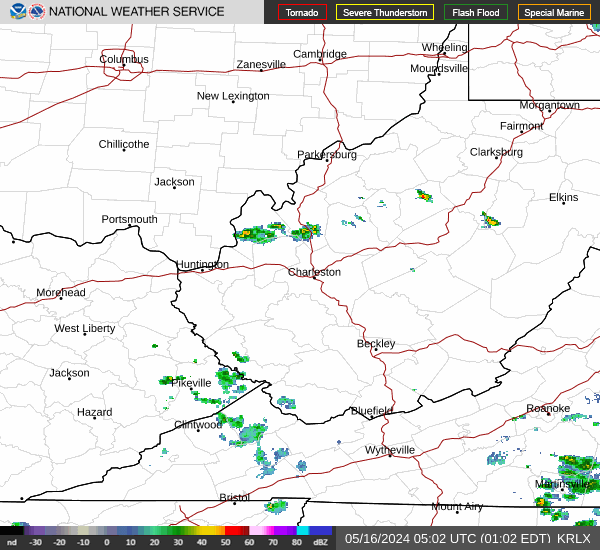
Link to Local Radar Data Link to Satellite Data

Hourly Weather Forecast

National Digital Forecast Database


