



Flash Flooding and Strong Thunderstorms Remain Possible Through Monday morning
Heavy showers and storms continue to be possible across the area through the weekend. Some storms could be strong to severe, with the primary threat being damaging wind. Heavy downpours within storms could also result in flash flooding. A Flood Watch remains in effect into Monday morning. Please keep updated on the forecast and have a way to receive warnings. Remember: Turn Around, Don't Drown! Read More >

Hazardous Weather Conditions
Logan County Airport (K6L4)
Lat: 37.86°NLon: 81.92°WElev: 1667ft.
Partly Cloudy
72°F
22°C
| Humidity | 100% |
| Wind Speed | S 5 mph |
| Barometer | 30.17 in |
| Dewpoint | 72°F (22°C) |
| Visibility | 9.00 mi |
| Last update | 15 Aug 11:55 pm EDT |
Stirrat WV
NOW until 8:00am Mon

Flood Watch
Overnight

Low: 70 °F
Chance
T-stormsSunday
High: 86 °F
Chance
T-storms then
Mostly SunnySunday Night

Low: 70 °F
Showers
Monday
High: 81 °F
Chance
Showers then
ShowersMonday Night
Low: 67 °F
Showers then
Chance
ShowersTuesday

High: 80 °F
Mostly Sunny
Tuesday Night

Low: 62 °F
Mostly Clear
Wednesday
High: 83 °F
Mostly Sunny
Detailed Forecast
Additional Forecasts and Information
 Forecast Area
ABOUT THIS FORECAST
37.7°N 81.95°W (Elev. 1575 ft)


Additional Resources
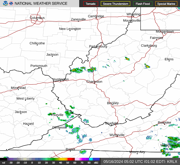
Radar & Satellite Image

Hourly Weather Forecast


