



Flash Flooding and Severe Thunderstorms Remain Possible Through Monday morning
Heavy showers and storms continue to be possible across the area through the weekend. A severe thunderstorm watch is in effect for much of the area until 8 PM. Heavy downpours within storms could also result in flash flooding. A Flood Watch remains in effect into Monday morning. Please keep updated on the forecast and have a way to receive warnings. Remember: Turn Around, Don't Drown! Read More >

Hazardous Weather Conditions
Charleston, Yeager Airport (KCRW)
Lat: 38.38°NLon: 81.59°WElev: 981ft.
Thunderstorm Light Rain Fog/Mist
74°F
23°C
| Humidity | 100% |
| Wind Speed | NW 12 G 22 mph |
| Barometer | 29.99 in (1014.5 mb) |
| Dewpoint | 74°F (23°C) |
| Visibility | 4.00 mi |
| Last update | 16 Aug 7:54 pm EDT |
3 Miles S Pond Gap WV
NOW: Multiple hazards in effect

Click HERE for Details
Tonight

Low: 68 °F
Heavy Rain
Monday
High: 81 °F
Chance
Showers then
Showers
LikelyMonday Night
Low: 66 °F
Showers then
Chance
ShowersTuesday

High: 79 °F
Becoming
SunnyTuesday Night

Low: 62 °F
Mostly Clear
Wednesday

High: 83 °F
Sunny
Wednesday Night
Low: 66 °F
Partly Cloudy
then Chance
ShowersThursday
High: 78 °F
Chance
Showers then
Showers
Likely
Detailed Forecast
Additional Forecasts and Information
 Forecast Area
ABOUT THIS FORECAST
38.25°N 81.29°W (Elev. 1512 ft)


Additional Resources
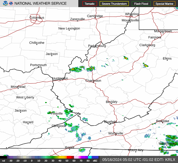
Radar & Satellite Image

Hourly Weather Forecast


