



Strong to Severe Thunderstorms are Possible This Afternoon into Tonight
Strong to severe thunderstorms are possible this afternoon into tonight across southeast Ohio and also central and northern portions of West Virginia. Damaging wind gusts will be the primary hazard, but a few instances of severe hail are also possible. Heavy downpours could lead to localized instances of flash flooding. Please keep updated on the forecast and have a way to receive warnings. Read More >

Hazardous Weather Conditions
Huntington, Tri-State Airport (KHTS)
Lat: 38.37°NLon: 82.56°WElev: 827ft.
A Few Clouds
96°F
36°C
| Humidity | 48% |
| Wind Speed | S 9 mph |
| Barometer | 30.00 in (1014.7 mb) |
| Dewpoint | 73°F (23°C) |
| Visibility | 10.00 mi |
| Heat Index | 106°F (41°C) |
| Last update | 3 Sep 3:51 pm EDT |
6 Miles SSW Ashland KY
NOW until 8:00pm Fri

Heat Advisory
Tonight
Low: 73 °F
Mostly Clear
Friday
High: 95 °F
Sunny then
Slight Chance
T-stormsFriday Night
Low: 72 °F
Mostly Clear
then Chance
T-stormsSaturday

High: 91 °F
Showers
LikelySaturday Night

Low: 66 °F
Chance
ShowersSunday

High: 86 °F
Mostly Sunny
Sunday Night
Low: 63 °F
Mostly Clear
Labor Day
High: 87 °F
Mostly Sunny
Detailed Forecast
Additional Forecasts and Information
 Forecast Area
ABOUT THIS FORECAST
38.38°N 82.7°W (Elev. 751 ft)


Additional Resources
Radar & Satellite Image
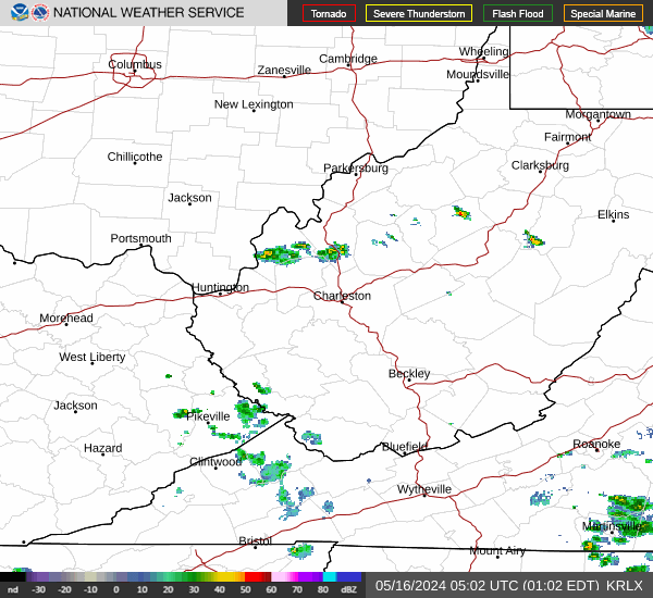

Hourly Weather Forecast


