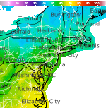
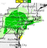
Excessive Rainfall Possible This Weekend; October Heat Wave in California
A slow moving front will be the focus area for heavy to excessive rainfall and a threat for flash/urban flooding across the northern Gulf Coast and Southeast U.S. through this weekend. Abnormally hot, potentially record-breaking, temperatures will impact southern California and stretch north toward the Bay Area and Central Valley into next week. Read More >

Camp Springs / Andrews Air Force Base (KADW)
Lat: 38.82°NLon: 76.85°WElev: 282ft.
Light Drizzle Fog/Mist
64°F
18°C
| Humidity | 92% |
| Wind Speed | NE 5 mph |
| Barometer | 30.10 in (1019.9 mb) |
| Dewpoint | 62°F (17°C) |
| Visibility | 1.88 mi |
| Last update | 4 Oct 2:55 pm EDT |
Hughesville MD
This Afternoon

High: 66 °F
Areas Drizzle
Tonight
Low: 57 °F
Areas Drizzle
and Patchy
Fog then
Patchy FogMonday

High: 71 °F
Becoming
SunnyMonday Night

Low: 46 °F
Clear
Tuesday

High: 64 °F
Sunny
Tuesday Night
Low: 45 °F
Clear
Wednesday
High: 70 °F
Sunny
Wednesday Night

Low: 52 °F
Mostly Clear
Thursday

High: 76 °F
Sunny
Detailed Forecast
Additional Forecasts and Information
 Forecast Area
ABOUT THIS FORECAST
38.55°N 76.77°W (Elev. 148 ft)


Additional Resources
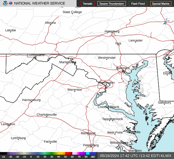
Radar & Satellite Image

Hourly Weather Forecast