Areas of Excessive Rainfall and Severe Thunderstorms; Typhoon Watch for Guam/CNMI
Heavy to excessive rainfall will continue today from the Texas Big Bend region into southern Oklahoma. Locally considerable flash and urban flooding is possible, and river flooding will continue in central Oklahoma. Scattered severe thunderstorms are possible in parts of the Mid-Atlantic Friday. A Typhoon Watch has been issued for Guam and CNMI. Read More >

College Park Airport (KCGS)
Lat: 38.98°NLon: 76.92°WElev: 49ft.
Overcast
65°F
18°C
| Humidity | 66% |
| Wind Speed | NE 6 mph |
| Barometer | 30.18 in |
| Dewpoint | 53°F (12°C) |
| Visibility | 10.00 mi |
| Last update | 15 Oct 2:55 pm EDT |
Dodge Park MD
This Afternoon

High: 65 °F
Chance
ShowersTonight

Low: 59 °F
Chance
ShowersFriday
High: 83 °F
Slight Chance
Showers and
Patchy Fog
then SunnyFriday Night

Low: 49 °F
Showers
LikelySaturday

High: 55 °F
Partly Sunny
Saturday Night

Low: 38 °F
Mostly Clear
Sunday

High: 58 °F
Sunny
Sunday Night
Low: 41 °F
Mostly Clear
Monday
High: 63 °F
Sunny
Detailed Forecast
Additional Forecasts and Information
 Forecast Area
ABOUT THIS FORECAST
38.92°N 76.88°W (Elev. 98 ft)


Additional Resources
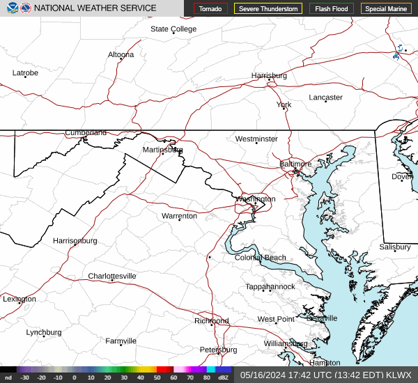
Radar & Satellite Image

Hourly Weather Forecast