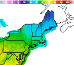
Severe Thunderstorms in the Central Plains and Lower Missouri Valley; Heat Continues in the Southeast and Southwest
Severe thunderstorms capable of large hail and damaging wind gusts are forecast to impact the central Plains into the Lower Missouri Valley through this afternoon. Dangerous heat persists across the southern Plains, Southeast U.S. and Puerto Rico this week, and will return to the Southwest today. Read More >

Cape May County Airport (KWWD)
Lat: 39.02°NLon: 74.92°WElev: 23ft.
Overcast
84°F
29°C
| Humidity | 77% |
| Wind Speed | SE 9 mph |
| Barometer | 29.87 in (1011.7 mb) |
| Dewpoint | 76°F (24°C) |
| Visibility | 10.00 mi |
| Heat Index | 93°F (34°C) |
| Last update | 18 Aug 3:56 pm EDT |
North Cape May NJ
This Afternoon

High: 84 °F
Isolated
T-stormsTonight

Low: 72 °F
Partly Cloudy
Wednesday

High: 85 °F
Sunny
Wednesday Night

Low: 73 °F
Mostly Clear
Thursday
High: 85 °F
Chance
Showers then
ShowersThursday Night
Low: 69 °F
Showers then
Chance
ShowersFriday
High: 82 °F
Partly Sunny
then Chance
ShowersFriday Night
Low: 69 °F
Chance
T-storms then
Showers
LikelySaturday

High: 82 °F
Showers
Likely
Detailed Forecast
Additional Forecasts and Information
 Forecast Area
ABOUT THIS FORECAST
38.97°N 74.94°W (Elev. 3 ft)


Additional Resources
Radar & Satellite Image
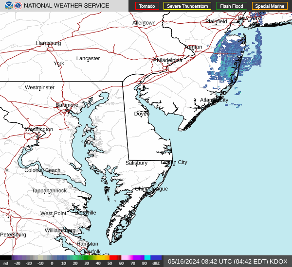

Hourly Weather Forecast