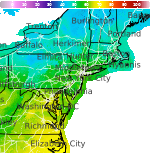
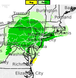
Heat Persists in the South Central U.S. and Southwest; Heavy rains in the Desert Southwest and Central Plains
Sweltering heat remains across the South-Central Plains, Lower/Middle Mississippi Valley, and the Southwest this week with limited nighttime relief. Thunderstorms will bring heavy rainfall leading to localized flash flooding in portions of the Desert Southwest and central Plains. Isolated strong to severe thunderstorms are possible across portions of the central Plains into the Northeast. Read More >

College Park Airport (KCGS)
Lat: 38.98°NLon: 76.92°WElev: 49ft.
Fair
68°F
20°C
| Humidity | 91% |
| Wind Speed | Calm |
| Barometer | 30.23 in |
| Dewpoint | 65°F (18°C) |
| Visibility | 10.00 mi |
| Last update | 9 Sep 1:35 am EDT |
2 Miles NE Martin's Additions MD
Overnight

Low: 66 °F
Partly Cloudy
Wednesday

High: 88 °F
Sunny
Wednesday Night

Low: 71 °F
Mostly Clear
Thursday
High: 87 °F
Slight Chance
Showers then
Showers
LikelyThursday Night

Low: 67 °F
Showers
LikelyFriday

High: 82 °F
Mostly Sunny
Friday Night
Low: 64 °F
Partly Cloudy
then Slight
Chance
ShowersSaturday

High: 81 °F
Chance
ShowersSaturday Night

Low: 67 °F
Chance
Showers
Detailed Forecast
Additional Forecasts and Information
 Forecast Area
ABOUT THIS FORECAST
39°N 77.03°W (Elev. 344 ft)


Additional Resources
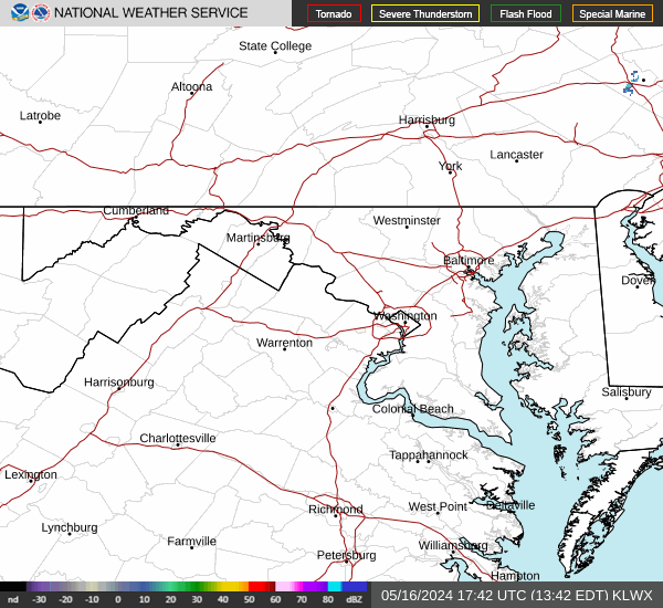
Radar & Satellite Image

Hourly Weather Forecast