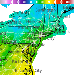
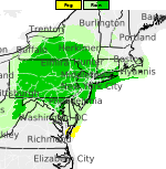
Hurricane Lowell to Impact Kauai; Heat Continues in the South-Central U.S.
Hurricane Lowell is forecast to pass west of Kauai today. Impacts such as high surf and heavy rain could impact all of the islands. A Hurricane Warning is in effect for Kauai, Niihau and the surrounding coastal waters. Sweltering heat remains across the South-Central Plains and Lower/Middle Mississippi Valley, as well as in the Southwest this week with limited nighttime relief. Read More >

Baltimore / Martin (KMTN)
Lat: 39.33°NLon: 76.42°WElev: 23ft.
Mostly Cloudy
82°F
28°C
| Humidity | 51% |
| Wind Speed | S 10 mph |
| Barometer | 30.25 in |
| Dewpoint | 63°F (17°C) |
| Visibility | 10.00 mi |
| Heat Index | 83°F (28°C) |
| Last update | 8 Sep 1:45 pm EDT |
2 Miles SE Phoenix MD
This Afternoon

High: 83 °F
Partly Sunny
Tonight

Low: 64 °F
Patchy Fog
Wednesday

High: 85 °F
Mostly Sunny
Wednesday Night

Low: 70 °F
Mostly Clear
Thursday
High: 84 °F
Slight Chance
Showers then
Showers
LikelyThursday Night

Low: 65 °F
Showers
LikelyFriday
High: 79 °F
Mostly Sunny
Friday Night

Low: 60 °F
Partly Cloudy
Saturday
High: 80 °F
Partly Sunny
then Chance
Showers
Detailed Forecast
Additional Forecasts and Information
 Forecast Area
ABOUT THIS FORECAST
39.49°N 76.55°W (Elev. 548 ft)


Additional Resources
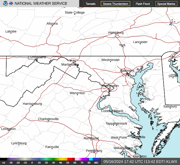
Radar & Satellite Image

Hourly Weather Forecast