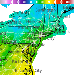
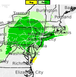
Extreme Heat in the Southwest; Severe Weather in the Northern Plains; Heavy Rain in the East
Extreme heat continues across the Southwest as temperatures may top 120 degrees. The heat may expand across the West and south-central U.S. into the middle of the month. Severe thunderstorms capable of severe wind gusts and large hail will be the primary hazards today across the northern Plains into the upper Midwest. Rainfall could be locally heavy across the Eastern U.S. today. Read More >

Hazardous Weather Conditions
Carroll County Regional Jack B Poage Field (KDMW)
Lat: 39.61°NLon: 77.01°WElev: 789ft.
Overcast
73°F
23°C
| Humidity | 100% |
| Wind Speed | SW 8 mph |
| Barometer | 29.80 in |
| Dewpoint | 73°F (23°C) |
| Visibility | 10.00 mi |
| Last update | 3 Aug 7:55 am EDT |
3 Miles NW Monkton MD
Today
High: 84 °F
Chance
T-storms then
Chance
ShowersTonight

Low: 64 °F
Partly Cloudy
Tuesday

High: 84 °F
Partly Sunny
Tuesday Night
Low: 66 °F
Mostly Cloudy
then Slight
Chance
ShowersWednesday
High: 85 °F
Chance
Showers then
Showers
LikelyWednesday Night
Low: 70 °F
Showers
Likely then
Slight Chance
ShowersThursday
High: 88 °F
Mostly Sunny
then Showers
LikelyThursday Night

Low: 71 °F
Showers
LikelyFriday
High: 88 °F
Mostly Sunny
then Chance
T-storms
Detailed Forecast
Additional Forecasts and Information
 Forecast Area
ABOUT THIS FORECAST
39.6°N 76.61°W (Elev. 518 ft)


Additional Resources
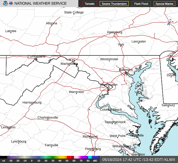
Radar & Satellite Image

Hourly Weather Forecast