

Strong to Severe Thunderstorms are Possible Late Tonight and Saturday

Active weather continues, with strong to severe thunderstorms being once again possible across portions of the area late tonight and Saturday. Damaging winds will continue to be the primary hazard. In addition, heavy downpours could lead to localized flash flooding. Please keep updated on the forecast and have a way to receive warnings. Read More >

Current conditions at

Zanesville Municipal Airport (KZZV)

Lat: 39.95°NLon: 81.89°WElev: 900ft.

Fog/Mist

70°F

21°C

Humidity 100%
Wind Speed Calm
Barometer 29.93 in (1012.9 mb)
Dewpoint 70°F (21°C)
Visibility 4.00 mi
Last update 5 Sep 2:53 am EDT
Extended Forecast for

Moxahala OH

  • Overnight

    Overnight: A chance of showers and thunderstorms, then showers likely and possibly a thunderstorm after 5am. Some of the storms could produce heavy rainfall.  Patchy fog.  Otherwise, mostly cloudy, with a low around 70. Calm wind.  Chance of precipitation is 60%. New rainfall amounts between a quarter and half of an inch possible.

    Low: 70 °F

    Heavy Rain
    and Patchy
    Fog

  • Saturday

    Saturday: Showers and thunderstorms likely, mainly before 4pm, then showers likely and possibly a thunderstorm after 5pm.  Patchy fog before 9am.  Otherwise, mostly cloudy, with a high near 82. Calm wind becoming northwest around 5 mph in the afternoon.  Chance of precipitation is 60%. New rainfall amounts between a quarter and half of an inch possible.

    High: 82 °F

    Showers
    Likely and
    Patchy Fog

  • Saturday Night

    Saturday Night: Showers likely, mainly before 7pm.  Mostly cloudy during the early evening, then gradual clearing, with a low around 60. North wind 3 to 5 mph.  Chance of precipitation is 60%. New precipitation amounts of less than a tenth of an inch possible.

    Low: 60 °F

    Showers
    Likely then
    Mostly Clear

  • Sunday

    Sunday: Sunny, with a high near 79. Northeast wind 5 to 8 mph.

    High: 79 °F

    Sunny

  • Sunday Night

    Sunday Night: Mostly clear, with a low around 60. Northeast wind 3 to 5 mph.

    Low: 60 °F

    Mostly Clear

  • Labor Day

    Labor Day: Sunny, with a high near 81.

    High: 81 °F

    Sunny

  • Monday Night

    Monday Night: Mostly clear, with a low around 61.

    Low: 61 °F

    Mostly Clear

  • Tuesday

    Tuesday: Mostly sunny, with a high near 84.

    High: 84 °F

    Mostly Sunny

  • Tuesday Night

    Tuesday Night: Partly cloudy, with a low around 67.

    Low: 67 °F

    Partly Cloudy

Detailed Forecast

Overnight
A chance of showers and thunderstorms, then showers likely and possibly a thunderstorm after 5am. Some of the storms could produce heavy rainfall. Patchy fog. Otherwise, mostly cloudy, with a low around 70. Calm wind. Chance of precipitation is 60%. New rainfall amounts between a quarter and half of an inch possible.
Saturday
Showers and thunderstorms likely, mainly before 4pm, then showers likely and possibly a thunderstorm after 5pm. Patchy fog before 9am. Otherwise, mostly cloudy, with a high near 82. Calm wind becoming northwest around 5 mph in the afternoon. Chance of precipitation is 60%. New rainfall amounts between a quarter and half of an inch possible.
Saturday Night
Showers likely, mainly before 7pm. Mostly cloudy during the early evening, then gradual clearing, with a low around 60. North wind 3 to 5 mph. Chance of precipitation is 60%. New precipitation amounts of less than a tenth of an inch possible.
Sunday
Sunny, with a high near 79. Northeast wind 5 to 8 mph.
Sunday Night
Mostly clear, with a low around 60. Northeast wind 3 to 5 mph.
Labor Day
Sunny, with a high near 81.
Monday Night
Mostly clear, with a low around 61.
Tuesday
Mostly sunny, with a high near 84.
Tuesday Night
Partly cloudy, with a low around 67.
Wednesday
Mostly sunny, with a high near 88.
Wednesday Night
A 40 percent chance of showers. Partly cloudy, with a low around 67.
Thursday
A 40 percent chance of showers. Partly sunny, with a high near 80.
Thursday Night
Partly cloudy, with a low around 58.
Friday
Mostly sunny, with a high near 79.
Basemap Options
Click map to change the forecast location
Loading map...

ABOUT THIS FORECAST

 
Point Forecast:
Moxahala OH
 39.65°N 82.11°W (Elev. 899 ft)
3:19 am EDT Sep 5, 2026
3am EDT Sep 5, 2026-6pm EDT Sep 11, 2026
 
Get as KML Get as XML

Additional Resources

Radar & Satellite Image
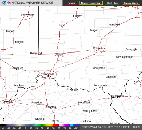
Link to Local Radar Data Link to Satellite Data

Hourly Weather Forecast

National Digital Forecast Database


