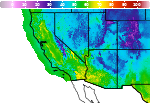
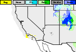
Widespread Precipitation and Gusty Winds in the West; Snow from the Great Lakes to the Northeast
A Pacific storm system is expected to bring strong winds and more precipitation to the western U.S., along with the likelihood of snowfall into the Sierra Nevada. Accumulating snow will develop downwind from the Great Lakes into parts of the Northeast through Saturday. Polar air will surge into the eastern half of the country this weekend. Read More >

Hazardous Weather Conditions
Eureka Airport ASOS (KP68)
Lat: 39.60139°NLon: 116.00556°WElev: 5945.0ft.NA
42°F
6°C
| Humidity | 50% |
| Wind Speed | SSE 5 MPH |
| Barometer | 29.89 in (1012.19 mb) |
| Dewpoint | 25°F (-4°C) |
| Visibility | NA |
| Wind Chill | 39°F (4°C) |
| Last update | 13 Nov 12:53 AM PST |
23 Miles ENE Eureka NV
Overnight

Low: 36 °F
Partly Cloudy
Friday

High: 47 °F
Patchy
Blowing Dust
and BreezyFriday Night
Low: 34 °F
Rain Showers
and Windy
then Snow
Showers and
BreezySaturday

High: 37 °F
Mostly Sunny
Saturday Night

Low: 27 °F
Mostly Clear
Sunday
High: 43 °F
Mostly Sunny
Sunday Night

Low: 32 °F
Mostly Cloudy
Monday
High: 40 °F
Isolated Snow
Showers then
Rain/Snow
LikelyMonday Night

Low: 31 °F
Rain/Snow
Detailed Forecast
 Forecast Area
ABOUT THIS FORECAST
39.67°N 115.57°W (Elev. 7493 ft)


Additional Resources
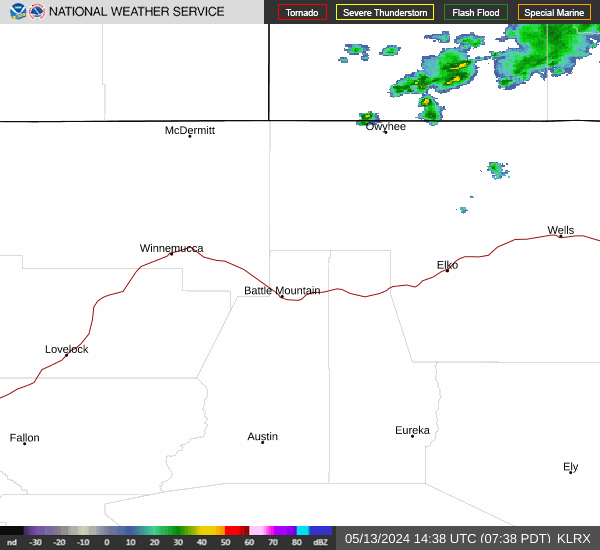
Radar & Satellite Image

Hourly Weather Forecast