



Strong Storms and Flash Flooding are Possible Later this Afternoon Through the Evening
Unsettled weather returns this afternoon through the evening with the potential for strong to isolated severe storms. Damaging winds and heavy downpours are the primary hazards, with a Flood Watch in effect from noon today until 1 AM Sunday morning given the potential for flash flooding. Please keep updated on the forecast and have a way to receive warnings. Remember - Turn Around, Don't Drown! Read More >

Hazardous Weather Conditions
Zanesville Municipal Airport (KZZV)
Lat: 39.95°NLon: 81.89°WElev: 900ft.
Light Rain
74°F
23°C
| Humidity | 91% |
| Wind Speed | SE 3 mph |
| Barometer | 29.94 in (1013.2 mb) |
| Dewpoint | 71°F (22°C) |
| Visibility | 10.00 mi |
| Last update | 12 Sep 7:53 pm EDT |
New Lexington OH
NOW until 1:00am Sun
Flood Watch
Tonight
Low: 66 °F
Chance
Showers then
Slight Chance
T-storms and
Areas FogSunday
High: 84 °F
Areas Fog
then Chance
T-stormsSunday Night
Low: 58 °F
Chance
T-storms then
Chance
ShowersMonday

High: 74 °F
Sunny
Monday Night

Low: 52 °F
Mostly Clear
Tuesday
High: 83 °F
Sunny
Tuesday Night
Low: 64 °F
Mostly Clear
Wednesday
High: 88 °F
Sunny
Detailed Forecast
Additional Forecasts and Information
 Forecast Area
ABOUT THIS FORECAST
39.7°N 82.22°W (Elev. 899 ft)


Additional Resources
Radar & Satellite Image
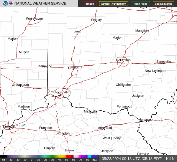

Hourly Weather Forecast


