Heavy to Excessive Rainfall in Eastern Florida; Unsettled Weather Along the West Coast
Heavy to excessive rainfall will likely bring flash and urban flooding impacts along the I-95 corridor from St. Augustine to Palm Beach, Florida through this weekend. A Pacific Storm moving into the West Coast tonight through Wednesday will bring moderate to heavy rainfall to low elevations and heavy snowfall to the Sierra Nevada Mountains. Read More >

Rantoul National Aviation Center Airport (KTIP)
Lat: 40.29°NLon: 88.15°WElev: 732ft.
Fair
58°F
14°C
| Humidity | 37% |
| Wind Speed | S 10 mph |
| Barometer | 30.46 in |
| Dewpoint | 32°F (0°C) |
| Visibility | 10.00 mi |
| Last update | 17 Nov 2:55 pm CST |
Rantoul Natl Avn Cntr-Frank Elliot Field Airport IL
This Afternoon

High: 59 °F
Sunny
Tonight

Low: 35 °F
Mostly Clear
Wednesday

High: 61 °F
Mostly Sunny
Wednesday Night

Low: 42 °F
Partly Cloudy
Thursday

High: 65 °F
Sunny
Thursday Night
Low: 42 °F
Mostly Clear
Friday
High: 67 °F
Sunny
Friday Night
Low: 45 °F
Mostly Clear
Saturday
High: 66 °F
Mostly Sunny
Detailed Forecast
Additional Forecasts and Information
 Forecast Area
ABOUT THIS FORECAST
40.27°N 88.14°W (Elev. 722 ft)


Additional Resources
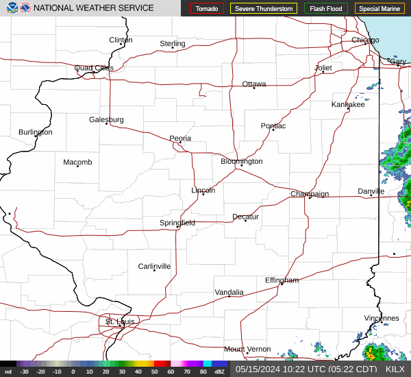
Radar & Satellite Image

Hourly Weather Forecast