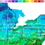
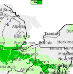
Showers and Thunderstorms from the Southern Plains into the Ohio Valley; Record Warmth in the Central U.S.
Heavy rain and widely scattered severe storms are expected over portions of the central and southern Plains into the Ohio Valley. Unseasonable warmth will continue for a few more days across the Midwest, Southeast, and Mid-Atlantic where several daily record highs could fall. Read More >

Hazardous Weather Conditions
Current conditions at
Du Bois - Jefferson County Airport (KDUJ)
Lat: 41.18°NLon: 78.89°WElev: 1804ft.
Overcast
50°F
10°C
| Humidity | 89% |
| Wind Speed | N 5 mph |
| Barometer | 30.16 in (1021.1 mb) |
| Dewpoint | 47°F (8°C) |
| Visibility | 10.00 mi |
| Wind Chill | 48°F (9°C) |
| Last update | 15 Oct 2:53 am EDT |
Extended Forecast for
Coolspring PA
Overnight

Low: 47 °F
Mostly Cloudy
Thursday

High: 66 °F
Partly Sunny
Thursday Night
Low: 58 °F
Isolated
T-storms then
ShowersFriday
High: 73 °F
Showers
Likely then
ShowersFriday Night

Low: 36 °F
Showers
LikelySaturday

High: 49 °F
Mostly Sunny
Saturday Night

Low: 30 °F
Frost
Sunday

High: 57 °F
Frost then
SunnySunday Night

Low: 34 °F
Mostly Clear
Detailed Forecast
Overnight
Mostly cloudy, with a low around 47. Calm wind.
Thursday
Partly sunny, with a high near 66. East wind 5 to 7 mph.
Thursday Night
Showers and thunderstorms before 4am, then showers likely and possibly a thunderstorm between 4am and 5am, then isolated showers after 5am. Low around 58. Southeast wind around 9 mph, with gusts as high as 21 mph. Chance of precipitation is 90%. New rainfall amounts between a tenth and quarter of an inch, except higher amounts possible in thunderstorms.
Friday
Showers and thunderstorms. High near 73. Southwest wind 14 to 18 mph, with gusts as high as 33 mph. Chance of precipitation is 90%. New rainfall amounts between a tenth and quarter of an inch, except higher amounts possible in thunderstorms.
Friday Night
Showers likely, mainly between 8pm and 2am. Mostly cloudy, with a low around 36. Northwest wind 11 to 13 mph, with gusts as high as 23 mph. Chance of precipitation is 60%. New precipitation amounts of less than a tenth of an inch possible.
Saturday
Mostly sunny, with a high near 49.
Saturday Night
Widespread frost, mainly after 2am. Otherwise, clear, with a low around 30.
Sunday
Widespread frost before 8am. Otherwise, sunny, with a high near 57.
Sunday Night
Mostly clear, with a low around 34.
Monday
Sunny, with a high near 61.
Monday Night
Partly cloudy, with a low around 37.
Tuesday
Mostly sunny, with a high near 63.
Tuesday Night
Mostly clear, with a low around 37.
Wednesday
Sunny, with a high near 63.
Additional Forecasts and Information
Basemap Options
Click map to change the forecast location
Loading map...
 Forecast Area
ABOUT THIS FORECAST
Point Forecast:
Coolspring PA
40.96°N 78.91°W (Elev. 1302 ft)
40.96°N 78.91°W (Elev. 1302 ft)
2:21 am EDT Oct 15, 2026
3am EDT Oct 15, 2026-6pm EDT Oct 21, 2026


Additional Resources
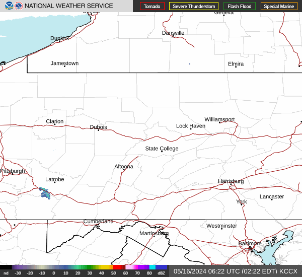
Radar & Satellite Image

Hourly Weather Forecast