Heavy Rain Continues Over Eastern Florida; Watching Storm Potential Near the Southeast U.S. Coast

Heavy to excessive rainfall will continue to threaten considerable flash and urban flooding impacts over the east central Florida coast from Palm Coast to near Melbourne through Friday. A subtropical or tropical storm may form near or offshore of the southeast U.S. coast this weekend. Regardless of development, strong winds, rough surf, coastal flooding, and heavy rain are likely. Read More >

Current conditions at

Williamsport - Lycoming County Airport (KIPT)

Lat: 41.24°NLon: 76.92°WElev: 522ft.

Fair

31°F

-1°C

Humidity 92%
Wind Speed NW 3 mph
Barometer 30.37 in (1028.7 mb)
Dewpoint 29°F (-2°C)
Visibility 10.00 mi
Last update 20 Nov 2:54 am EST
Extended Forecast for

Picture Rocks PA

  • Overnight

    Overnight: Clear, with a low around 27. Calm wind.

    Low: 27 °F

    Clear

  • Friday

    Friday: Sunny, with a high near 63. Light west wind.

    High: 63 °F

    Sunny

  • Friday Night

    Friday Night: Mostly clear, with a low around 33. Calm wind.

    Low: 33 °F

    Mostly Clear

  • Saturday

    Saturday: Mostly sunny, with a high near 61. Light and variable wind.

    High: 61 °F

    Mostly Sunny

  • Saturday Night

    Saturday Night: Mostly cloudy, with a low around 41. Calm wind.

    Low: 41 °F

    Mostly Cloudy

  • Sunday

    Sunday: Rain likely, mainly after 1pm.  Mostly cloudy, with a high near 58. Chance of precipitation is 60%. New precipitation amounts between a tenth and quarter of an inch possible.

    High: 58 °F

    Chance Rain
    then Rain
    Likely

  • Sunday Night

    Sunday Night: A chance of rain.  Mostly cloudy, with a low around 48. Chance of precipitation is 50%.

    Low: 48 °F

    Chance Rain

  • Monday

    Monday: Partly sunny, with a high near 57.

    High: 57 °F

    Partly Sunny

  • Monday Night

    Monday Night: Partly cloudy, with a low around 32.

    Low: 32 °F

    Partly Cloudy

Detailed Forecast

Overnight
Clear, with a low around 27. Calm wind.
Friday
Sunny, with a high near 63. Light west wind.
Friday Night
Mostly clear, with a low around 33. Calm wind.
Saturday
Mostly sunny, with a high near 61. Light and variable wind.
Saturday Night
Mostly cloudy, with a low around 41. Calm wind.
Sunday
Rain likely, mainly after 1pm. Mostly cloudy, with a high near 58. Chance of precipitation is 60%. New precipitation amounts between a tenth and quarter of an inch possible.
Sunday Night
A chance of rain. Mostly cloudy, with a low around 48. Chance of precipitation is 50%.
Monday
Partly sunny, with a high near 57.
Monday Night
Partly cloudy, with a low around 32.
Tuesday
Mostly sunny, with a high near 42.
Tuesday Night
Mostly clear, with a low around 25.
Wednesday
Mostly sunny, with a high near 43.
Wednesday Night
A chance of rain and snow. Mostly cloudy, with a low around 33. Chance of precipitation is 50%.
Thanksgiving Day
A chance of rain and snow. Mostly cloudy, with a high near 44. Chance of precipitation is 50%.
Basemap Options
Click map to change the forecast location
Loading map...

ABOUT THIS FORECAST

 
Point Forecast:
Picture Rocks PA
 41.26°N 76.72°W (Elev. 797 ft)
2:11 am EST Nov 20, 2026
3am EST Nov 20, 2026-6pm EST Nov 26, 2026
 
Get as KML Get as XML

Additional Resources

Radar & Satellite Image
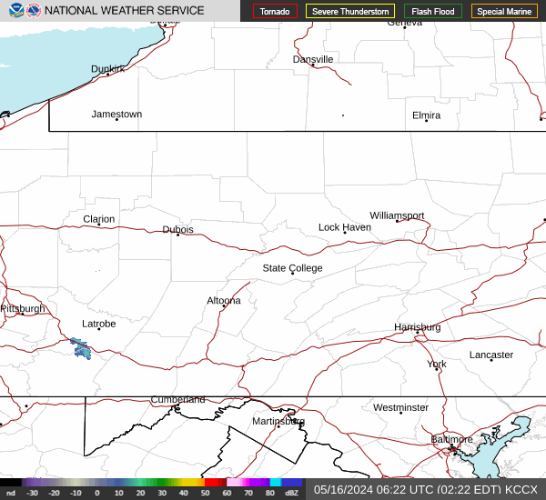
Link to Local Radar Data Link to Satellite Data

Hourly Weather Forecast

National Digital Forecast Database