Current conditions at
Erie, Erie International Airport (KERI)
Lat: 42.08°NLon: 80.18°WElev: 732ft.
Fair
46°F
8°C
| Humidity | 73% |
| Wind Speed | S 7 mph |
| Barometer | 29.98 in (1015.3 mb) |
| Dewpoint | 38°F (3°C) |
| Visibility | 10.00 mi |
| Wind Chill | 42°F (6°C) |
| Last update | 10 Nov 11:51 pm EST |
Extended Forecast for
Union City PA
Tonight

Low: 32 °F
Partly Cloudy
Veterans Day

High: 56 °F
Increasing
CloudsWednesday Night

Low: 37 °F
Showers
LikelyThursday

High: 47 °F
Showers
Thursday Night
Low: 27 °F
Showers
Likely then
Rain/Snow
LikelyFriday
High: 40 °F
Rain/Snow
Likely then
Showers
LikelyFriday Night

Low: 26 °F
Chance Snow
Saturday
High: 41 °F
Chance Snow
then Chance
Rain/SnowSaturday Night

Low: 27 °F
Chance
Rain/Snow
Detailed Forecast
Tonight
Partly cloudy, with a low around 32. Calm wind.
Veterans Day
Increasing clouds, with a high near 56. Calm wind becoming southwest around 5 mph.
Wednesday Night
Showers likely, mainly after midnight. Mostly cloudy, with a low around 37. Calm wind. Chance of precipitation is 70%. New precipitation amounts of less than a tenth of an inch possible.
Thursday
Showers. High near 47. Light north wind increasing to 5 to 10 mph in the morning. Winds could gust as high as 21 mph. Chance of precipitation is 80%. New precipitation amounts between a tenth and quarter of an inch possible.
Thursday Night
Rain showers likely before 1am, then rain and snow showers likely between 1am and 4am, then snow showers likely after 4am. Cloudy, with a low around 27. North wind 6 to 9 mph, with gusts as high as 20 mph. Chance of precipitation is 70%. New snow accumulation of less than a half inch possible.
Friday
Snow showers likely before 8am, then rain and snow showers likely between 8am and 9am, then rain showers likely after 9am. Mostly cloudy, with a high near 40. Chance of precipitation is 60%. New snow accumulation of less than a half inch possible.
Friday Night
A chance of snow. Mostly cloudy, with a low around 26. Chance of precipitation is 50%.
Saturday
A chance of snow before 4pm, then a chance of rain. Mostly cloudy, with a high near 41. Chance of precipitation is 50%.
Saturday Night
A chance of rain, mixing with snow after 10pm, then gradually ending. Mostly cloudy, with a low around 27. Chance of precipitation is 40%.
Sunday
Mostly cloudy, with a high near 44.
Sunday Night
Mostly cloudy, with a low around 27.
Monday
Mostly cloudy, with a high near 45.
Monday Night
Mostly cloudy, with a low around 27.
Tuesday
Partly sunny, with a high near 47.
Additional Forecasts and Information
Basemap Options
Click map to change the forecast location
Loading map...
 Forecast Area
ABOUT THIS FORECAST
Point Forecast:
Union City PA
41.9°N 79.83°W (Elev. 1296 ft)
41.9°N 79.83°W (Elev. 1296 ft)
7:46 pm EST Nov 10, 2026
11pm EST Nov 10, 2026-6pm EST Nov 17, 2026


Additional Resources
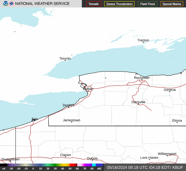
Radar & Satellite Image

Hourly Weather Forecast