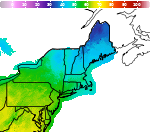
Winter Weather Advisory in Effect for Higher Elevations of the northern Adirondacks and southern Greens starting Thursday 10AM.

Over portions of the northern Adirondacks and the central and southern Greens, 2-5 inches of wet snow is expected from Thursday into Friday morning. Plan on slippery road conditions in these areas, impacting the Thursday evening and Friday morning commutes. A few power outages are possible due to the character of the wet snow. Minimal impacts are expected for lower elevations. Read More >

Hazardous Weather Conditions

Current conditions at

Springfield, Hartness State Springfield Airport (KVSF)

Lat: 43.34°NLon: 72.52°WElev: 574ft.

Overcast

37°F

3°C

Humidity 89%
Wind Speed Calm
Barometer 29.85 in (1011.3 mb)
Dewpoint 34°F (1°C)
Visibility 10.00 mi
Last update 11 Nov 11:54 pm EST
Extended Forecast for

Ascutney VT

  • Overnight

    Overnight: Mostly cloudy, with a low around 34. Calm wind.

    Low: 34 °F

    Mostly Cloudy

  • Thursday

    Thursday: Rain, mainly after 9am.  High near 45. Light northeast wind.  Chance of precipitation is 90%. New precipitation amounts between a tenth and quarter of an inch possible.

    High: 45 °F

    Rain

  • Thursday Night

    Thursday Night: Rain before 1am, then rain and snow.  Low around 32. Northeast wind around 6 mph.  Chance of precipitation is 100%. Little or no snow accumulation expected.

    Low: 32 °F

    Rain then
    Rain/Snow

  • Friday

    Friday: A chance of rain and snow between 7am and 11am, then a chance of rain after 11am.  Cloudy, with a high near 43. North wind around 6 mph.  Chance of precipitation is 50%. Little or no snow accumulation expected.

    High: 43 °F

    Chance
    Rain/Snow
    then Chance
    Rain

  • Friday Night

    Friday Night: A 30 percent chance of snow before 7pm.  Mostly cloudy, with a low around 29. North wind around 7 mph.  Little or no snow accumulation expected.

    Low: 29 °F

    Chance Snow
    then Mostly
    Cloudy

  • Saturday

    Saturday: Mostly cloudy, with a high near 43. Northwest wind 7 to 9 mph.

    High: 43 °F

    Mostly Cloudy

  • Saturday Night

    Saturday Night: Mostly cloudy, with a low around 30. Northwest wind 3 to 5 mph.

    Low: 30 °F

    Mostly Cloudy

  • Sunday

    Sunday: Mostly cloudy, with a high near 45. Northwest wind 5 to 8 mph.

    High: 45 °F

    Mostly Cloudy

  • Sunday Night

    Sunday Night: Mostly cloudy, with a low around 29. Light northwest wind.

    Low: 29 °F

    Mostly Cloudy

Detailed Forecast

Overnight
Mostly cloudy, with a low around 34. Calm wind.
Thursday
Rain, mainly after 9am. High near 45. Light northeast wind. Chance of precipitation is 90%. New precipitation amounts between a tenth and quarter of an inch possible.
Thursday Night
Rain before 1am, then rain and snow. Low around 32. Northeast wind around 6 mph. Chance of precipitation is 100%. Little or no snow accumulation expected.
Friday
A chance of rain and snow between 7am and 11am, then a chance of rain after 11am. Cloudy, with a high near 43. North wind around 6 mph. Chance of precipitation is 50%. Little or no snow accumulation expected.
Friday Night
A 30 percent chance of snow before 7pm. Mostly cloudy, with a low around 29. North wind around 7 mph. Little or no snow accumulation expected.
Saturday
Mostly cloudy, with a high near 43. Northwest wind 7 to 9 mph.
Saturday Night
Mostly cloudy, with a low around 30. Northwest wind 3 to 5 mph.
Sunday
Mostly cloudy, with a high near 45. Northwest wind 5 to 8 mph.
Sunday Night
Mostly cloudy, with a low around 29. Light northwest wind.
Monday
Mostly sunny, with a high near 45. Northwest wind 3 to 6 mph.
Monday Night
Partly cloudy, with a low around 24. Calm wind.
Tuesday
Sunny, with a high near 50. Light northwest wind.
Tuesday Night
Partly cloudy, with a low around 24. Calm wind.
Wednesday
Sunny, with a high near 54. Light northwest wind.
Basemap Options
Click map to change the forecast location
Loading map...

ABOUT THIS FORECAST

 
Point Forecast:
Ascutney VT
 43.41°N 72.41°W (Elev. 486 ft)
2:08 pm EST Nov 11, 2026
12am EST Nov 12, 2026-6pm EST Nov 18, 2026
 
Get as KML Get as XML

Additional Resources

Radar & Satellite Image
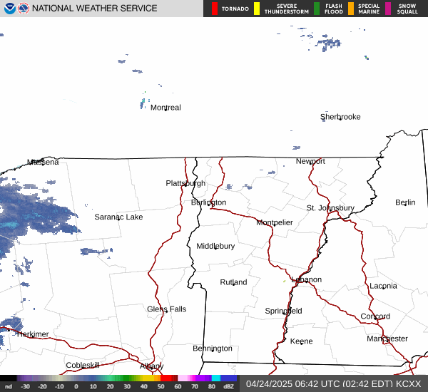
Link to Local Radar Data Link to Satellite Data

Hourly Weather Forecast

National Digital Forecast Database