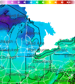
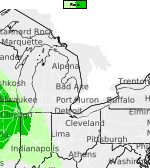
Showers and Storms Again Today; Torrential Rain Possible with Potential for Severe Storms
Shower and thunderstorm activity is set to continue again today. While the primary concern will be torrential rainfall, there is also potential for severe storms, particularly the closer one goes toward Saginaw Bay. Primary hazards are damaging winds and hail. Read More >

Current conditions at
MBS International Airport (KMBS)
Lat: 43.53°NLon: 84.08°WElev: 656ft.
Overcast
62°F
17°C
| Humidity | 93% |
| Wind Speed | Calm |
| Barometer | 29.91 in (1012.8 mb) |
| Dewpoint | 60°F (16°C) |
| Visibility | 10.00 mi |
| Last update | 25 Jun 6:53 am EDT |
Extended Forecast for
4 Miles E Standish MI
Today

High: 72 °F
Showers
LikelyTonight
Low: 55 °F
Showers
Likely then
Mostly CloudyFriday

High: 71 °F
Partly Sunny
Friday Night

Low: 54 °F
Partly Cloudy
Saturday

High: 73 °F
Sunny
Saturday Night
Low: 53 °F
Mostly Clear
then Patchy
FogSunday
High: 78 °F
Patchy Fog
then Mostly
SunnySunday Night
Low: 64 °F
Partly Cloudy
Monday
High: 88 °F
Partly Sunny
Detailed Forecast
Today
Showers likely and possibly a thunderstorm before 8am, then a chance of showers and thunderstorms between 8am and 2pm, then showers likely and possibly a thunderstorm after 2pm. Mostly cloudy, with a high near 72. Calm wind becoming south around 5 mph in the morning. Chance of precipitation is 70%.
Tonight
Showers likely, mainly before 8pm. Mostly cloudy, with a low around 55. North wind around 5 mph. Chance of precipitation is 60%.
Friday
Partly sunny, with a high near 71. Calm wind becoming southeast around 5 mph in the afternoon.
Friday Night
Partly cloudy, with a low around 54. Northeast wind around 5 mph.
Saturday
Sunny, with a high near 73. East wind 5 to 10 mph.
Saturday Night
Patchy fog after 4am. Otherwise, mostly clear, with a low around 53.
Sunday
Patchy fog before 7am. Otherwise, mostly sunny, with a high near 78.
Sunday Night
Partly cloudy, with a low around 64.
Monday
Partly sunny, with a high near 88.
Monday Night
Partly cloudy, with a low around 69.
Tuesday
Mostly sunny, with a high near 90.
Tuesday Night
Partly cloudy, with a low around 69.
Wednesday
A chance of showers. Mostly sunny, with a high near 90.
Basemap Options
Click map to change the forecast location
Loading map...
 Forecast Area
ABOUT THIS FORECAST
Point Forecast:
4 Miles E Standish MI
43.99°N 83.89°W (Elev. 610 ft)
43.99°N 83.89°W (Elev. 610 ft)
7:38 am EDT Jun 25, 2026
7am EDT Jun 25, 2026-6pm EDT Jul 1, 2026


Additional Resources
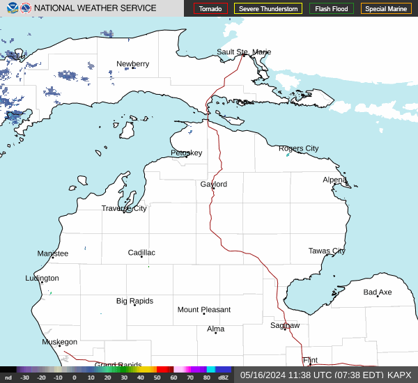
Radar & Satellite Image

Hourly Weather Forecast