Current conditions at
Mount Washington (KMWN)
Lat: 44.27°NLon: 71.3°WElev: 6262ft.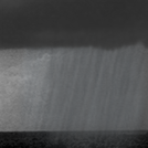
Showers in Vicinity
39°F
4°C
| Humidity | 87% |
| Wind Speed | N 3 mph |
| Barometer | NA |
| Dewpoint | 36°F (2°C) |
| Visibility | 10.00 mi |
| Last update | 7 Nov 3:54 am EST |
Extended Forecast for
Mount Washington NH
Overnight

Low: 44 °F
Chance Rain
and WindySaturday

High: 40 °F⇓
Rain Likely
and BreezySaturday Night
Low: 23 °F
Chance Rain
then Wintry
Mix and WindySunday
High: 31 °F
Very Windy.
Wintry Mix
then Mostly
CloudySunday Night
Low: 24 °F
Very Windy.
Mostly Cloudy
then Chance
SnowMonday

High: 28 °F
Snow and Very
WindyMonday Night

Low: 21 °F
Chance Snow
and Very
WindyTuesday

High: 31 °F
Mostly Cloudy
and Very
WindyTuesday Night

Low: 23 °F
Chance Snow
and Very
Windy
Detailed Forecast
Overnight
A 30 percent chance of rain, mainly before 5am. Mostly cloudy, with a steady temperature around 44. Windy, with a northeast wind around 30 mph, with gusts as high as 40 mph. New precipitation amounts of less than a tenth of an inch possible.
Saturday
Rain likely, mainly between 1pm and 5pm. Cloudy, with a temperature falling to around 36 by 4pm. Breezy, with an east wind 15 to 20 mph becoming south in the afternoon. Chance of precipitation is 60%. New precipitation amounts of less than a tenth of an inch possible.
Saturday Night
Rain and snow likely before 4am, then rain, snow, and freezing rain likely between 4am and 5am, then snow, possibly mixed with rain after 5am. Low around 23. Windy, with a northwest wind 10 to 20 mph increasing to 25 to 35 mph. Winds could gust as high as 45 mph. Chance of precipitation is 80%. Little or no ice accumulation expected. New snow accumulation of less than a half inch possible.
Sunday
Snow and freezing rain, becoming all snow after 9am, then gradually ending. High near 31. Very windy, with a northwest wind 45 to 55 mph, with gusts as high as 70 mph. Chance of precipitation is 80%. New snow accumulation of less than one inch possible.
Sunday Night
A 30 percent chance of snow after 4am. Mostly cloudy, with a low around 24. Very windy, with a west wind around 50 mph, with gusts as high as 65 mph.
Monday
Snow. High near 28. Very windy. Chance of precipitation is 90%.
Monday Night
A 40 percent chance of snow between 1am and 2am. Mostly cloudy, with a low around 21. Very windy.
Tuesday
Mostly cloudy, with a high near 31. Very windy.
Tuesday Night
A 50 percent chance of snow. Mostly cloudy, with a low around 23. Very windy.
Veterans Day
A 40 percent chance of snow. Mostly cloudy, with a high near 29. Very windy.
Wednesday Night
A 30 percent chance of snow. Mostly cloudy, with a low around 19. Very windy.
Thursday
Partly sunny, with a high near 23. Windy.
Thursday Night
Mostly cloudy, with a low around 16. Windy.
Friday
A 30 percent chance of snow. Partly sunny, with a high near 22. Windy.
Additional Forecasts and Information
Basemap Options
Click map to change the forecast location
Loading map...
 Forecast Area
ABOUT THIS FORECAST
Point Forecast:
Mount Washington NH
44.28°N 71.3°W (Elev. 5650 ft)
44.28°N 71.3°W (Elev. 5650 ft)
1:25 am EST Nov 7, 2026
4am EST Nov 7, 2026-6pm EST Nov 13, 2026


Additional Resources
Radar & Satellite Image
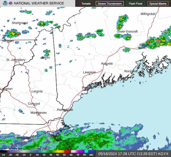

Hourly Weather Forecast