Weather Impacts for the Pacific Northwest This Week; Watching the Eastern U.S.
A series of Pacific fronts will bring periods of moderate rain, higher elevation snow, and gusty winds to the Pacific Northwest through this week. A more widespread precipitation event looks likely this weekend. In the Mid-Atlantic and Northeast U.S. a storm may bring gusty winds, low elevation rain, and high elevation wet snow Thursday into Saturday. Read More >

Hazardous Weather Conditions
Burlington, Burlington International Airport (KBTV)
Lat: 44.47°NLon: 73.15°WElev: 331ft.
Mostly Cloudy
49°F
9°C
| Humidity | 77% |
| Wind Speed | S 12 mph |
| Barometer | 29.68 in (1005.3 mb) |
| Dewpoint | 42°F (6°C) |
| Visibility | 10.00 mi |
| Wind Chill | 44°F (7°C) |
| Last update | 10 Nov 3:54 pm EST |
2 Miles SE Hinesburg VT
This Afternoon

High: 48 °F
Chance
ShowersTonight
Low: 37 °F
Showers
Likely then
Slight Chance
ShowersVeterans Day

High: 45 °F
Mostly Cloudy
Wednesday Night
Low: 34 °F
Mostly Cloudy
then Chance
ShowersThursday

High: 43 °F
Rain
Thursday Night
Low: 34 °F
Rain Likely
then
Rain/Snow
LikelyFriday
High: 41 °F
Rain/Snow
Likely then
Rain LikelyFriday Night

Low: 28 °F
Chance
Rain/SnowSaturday

High: 39 °F
Rain/Snow
Likely
Detailed Forecast
Additional Forecasts and Information
 Forecast Area
ABOUT THIS FORECAST
44.32°N 73.08°W (Elev. 568 ft)


Additional Resources
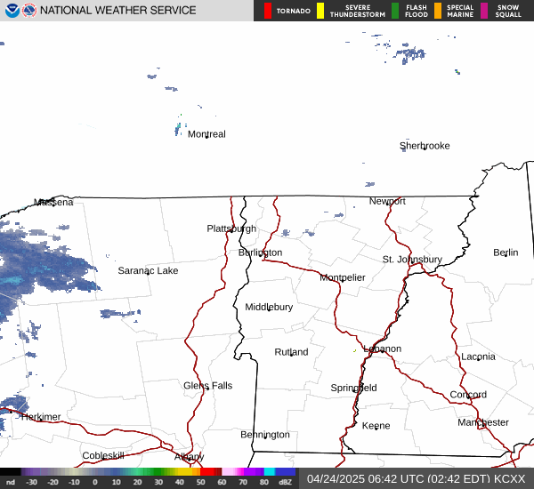
Radar & Satellite Image

Hourly Weather Forecast