


News Headlines

Current conditions at
Buffalo (K2WX)
Lat: 45.6°NLon: 103.55°WElev: 3002ft.54°F
12°C
| Humidity | 90% |
| Wind Speed | NA |
| Barometer | 29.91 in (1011.6 mb) |
| Dewpoint | 51°F (11°C) |
| Visibility | NA |
| Last update | 2 Sep 4:56 am MDT |
Extended Forecast for
6 Miles WNW Ludlow SD
Today
High: 84 °F
Partly Sunny
then Sunny
and BreezyTonight
Low: 59 °F
Mostly Clear
and Breezy
then Partly
CloudyThursday

High: 88 °F
Sunny
Thursday Night

Low: 59 °F
Mostly Clear
Friday
High: 93 °F
Sunny then
Sunny and
BreezyFriday Night
Low: 64 °F
Mostly Clear
and Breezy
then Mostly
ClearSaturday
High: 90 °F
Sunny
Saturday Night
Low: 60 °F
Mostly Clear
Sunday
High: 81 °F
Slight Chance
T-storms then
Chance
Showers
Detailed Forecast
Today
Mostly cloudy, then gradually becoming sunny, with a high near 84. Breezy, with a southeast wind 11 to 21 mph, with gusts as high as 32 mph.
Tonight
Partly cloudy, with a low around 59. Breezy, with a southeast wind 13 to 21 mph becoming west after midnight. Winds could gust as high as 31 mph.
Thursday
Sunny, with a high near 88. West wind 6 to 14 mph becoming east in the afternoon. Winds could gust as high as 22 mph.
Thursday Night
Mostly clear, with a low around 59. East wind 10 to 16 mph, with gusts as high as 24 mph.
Friday
Sunny, with a high near 93. Breezy, with a south wind 13 to 22 mph, with gusts as high as 36 mph.
Friday Night
Mostly clear, with a low around 64. Breezy, with a south wind 17 to 22 mph becoming west 11 to 16 mph after midnight. Winds could gust as high as 33 mph.
Saturday
Sunny, with a high near 90.
Saturday Night
Mostly clear, with a low around 60.
Sunday
A chance of showers and thunderstorms, mainly after noon. Partly sunny, with a high near 81.
Sunday Night
A chance of showers and thunderstorms. Mostly cloudy, with a low around 59. Breezy.
Labor Day
A chance of showers and thunderstorms. Partly sunny, with a high near 81. Breezy.
Monday Night
A chance of showers and thunderstorms. Mostly cloudy, with a low around 56. Breezy.
Tuesday
A chance of showers. Partly sunny, with a high near 76. Breezy.
Additional Forecasts and Information
Basemap Options
Click map to change the forecast location
Loading map...
 Forecast Area
ABOUT THIS FORECAST
Point Forecast:
6 Miles WNW Ludlow SD
45.86°N 103.49°W (Elev. 3297 ft)
45.86°N 103.49°W (Elev. 3297 ft)
3:31 am MDT Sep 2, 2026
5am MDT Sep 2, 2026-6pm MDT Sep 8, 2026


Additional Resources
Radar & Satellite Image
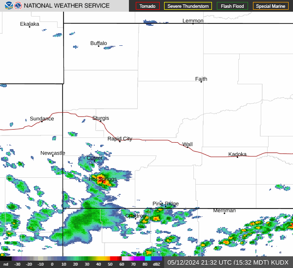

Hourly Weather Forecast


