

Hurricane Isaias to Approach the Northern Gulf Coast on Friday

Isaias is expected to approach the northern Gulf Coast as a strong hurricane on Friday, bringing life-threatening storm surge, damaging winds, heavy rain, and severe thunderstorms across the region and Southeast into the weekend, with risks of flooding and tornadoes. Read More >

Current conditions at

NA ()

Lat: NA°NLon: NA°WElev: NAft.

N/A

Humidity NA
Wind Speed NA
Barometer NA
Dewpoint N/A
Visibility NA
Wind Chill°F (°C)
Heat Index°F (°C)
Last update
Extended Forecast for

20 Miles NW Whitewater MT

  • This Afternoon

    This Afternoon: Mostly sunny, with a high near 67. Light north northwest wind.

    High: 67 °F

    Mostly Sunny

  • Tonight

    Tonight: Partly cloudy, with a low around 42. Light and variable wind becoming south southeast 5 to 10 mph in the evening.

    Low: 42 °F

    Partly Cloudy

  • Friday

    Friday: Mostly cloudy, then gradually becoming sunny, with a high near 79. West southwest wind 5 to 10 mph increasing to 15 to 20 mph in the afternoon. Winds could gust as high as 30 mph.

    High: 79 °F

    Decreasing
    Clouds

  • Friday Night

    Friday Night: Mostly cloudy, with a low around 41. West wind 6 to 10 mph, with gusts as high as 18 mph.

    Low: 41 °F

    Mostly Cloudy

  • Saturday

    Saturday: Mostly cloudy, with a high near 53. Northwest wind 11 to 16 mph, with gusts as high as 24 mph.

    High: 53 °F

    Mostly Cloudy

  • Saturday Night

    Saturday Night: A slight chance of rain before midnight, then a chance of snow between midnight and 3am, then a chance of rain after 3am.  Cloudy, with a low around 28. North wind 15 to 18 mph, with gusts as high as 28 mph.  Chance of precipitation is 30%. Little or no snow accumulation expected.

    Low: 28 °F

    Slight Chance
    Rain then
    Chance
    Rain/Snow

  • Sunday

    Sunday: A chance of snow before 9am, then a chance of rain between 9am and noon, then a chance of snow after noon.  Cloudy, with a high near 41. North northeast wind 11 to 15 mph, with gusts as high as 23 mph.  Chance of precipitation is 50%. Little or no snow accumulation expected.

    High: 41 °F

    Chance
    Rain/Snow
    then Chance
    Snow

  • Sunday Night

    Sunday Night: Rain and snow likely, mainly before midnight.  Cloudy, with a low around 26. Northeast wind 6 to 10 mph.  Chance of precipitation is 60%.

    Low: 26 °F

    Rain/Snow
    Likely

  • Columbus Day

    Columbus Day: A chance of rain and snow before noon.  Partly sunny, with a high near 44. Northeast wind around 6 mph becoming south southwest in the afternoon.  Chance of precipitation is 30%.

    High: 44 °F

    Chance
    Rain/Snow
    then Partly
    Sunny

Detailed Forecast

This Afternoon
Mostly sunny, with a high near 67. Light north northwest wind.
Tonight
Partly cloudy, with a low around 42. Light and variable wind becoming south southeast 5 to 10 mph in the evening.
Friday
Mostly cloudy, then gradually becoming sunny, with a high near 79. West southwest wind 5 to 10 mph increasing to 15 to 20 mph in the afternoon. Winds could gust as high as 30 mph.
Friday Night
Mostly cloudy, with a low around 41. West wind 6 to 10 mph, with gusts as high as 18 mph.
Saturday
Mostly cloudy, with a high near 53. Northwest wind 11 to 16 mph, with gusts as high as 24 mph.
Saturday Night
A slight chance of rain before midnight, then a chance of snow between midnight and 3am, then a chance of rain after 3am. Cloudy, with a low around 28. North wind 15 to 18 mph, with gusts as high as 28 mph. Chance of precipitation is 30%. Little or no snow accumulation expected.
Sunday
A chance of snow before 9am, then a chance of rain between 9am and noon, then a chance of snow after noon. Cloudy, with a high near 41. North northeast wind 11 to 15 mph, with gusts as high as 23 mph. Chance of precipitation is 50%. Little or no snow accumulation expected.
Sunday Night
Rain and snow likely, mainly before midnight. Cloudy, with a low around 26. Northeast wind 6 to 10 mph. Chance of precipitation is 60%.
Columbus Day
A chance of rain and snow before noon. Partly sunny, with a high near 44. Northeast wind around 6 mph becoming south southwest in the afternoon. Chance of precipitation is 30%.
Monday Night
Mostly cloudy, with a low around 27. South wind 5 to 7 mph.
Tuesday
Mostly sunny, with a high near 55. South wind 5 to 9 mph.
Tuesday Night
Partly cloudy, with a low around 33.
Wednesday
A slight chance of rain. Partly sunny, with a high near 56.
Basemap Options
Click map to change the forecast location
Loading map...

ABOUT THIS FORECAST

 
Point Forecast:
20 Miles NW Whitewater MT
 48.93°N 107.95°W (Elev. 2884 ft)
12:55 pm MDT Oct 8, 2026
2pm MDT Oct 8, 2026-6pm MDT Oct 14, 2026
 
Get as KML Get as XML

Additional Resources

Radar & Satellite Image
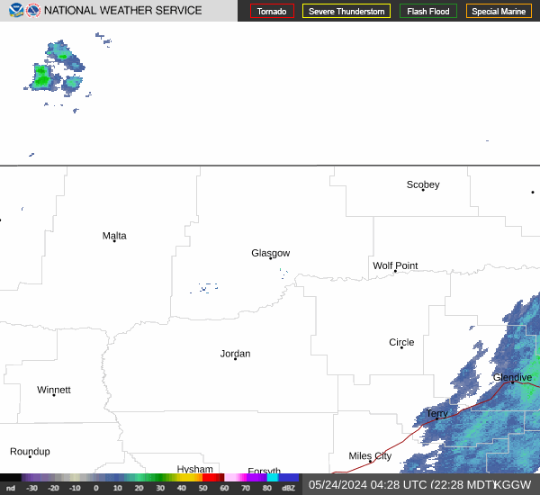
Link to Local Radar Data Link to Satellite Data

Hourly Weather Forecast

National Digital Forecast Database


