News Headlines
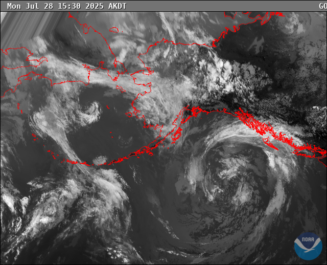
- The parade of strong lows continues through the work week. Wind advisories for the Southern Panhandle as a gale force low moves into the Gulf Tuesday. Click here to read more...
- Curious how El Nino will potentially impact SE AK this winter? Click here to see a video breakdown of what El Nino could mean for SE AK going into the fall and winter.

Hazardous Weather Conditions
Current conditions at
Hydaburg - Hydaburg Seaplane Base (PAHY)
Lat: 55.2°NLon: 132.83°WElev: 16ft.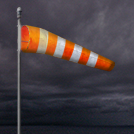
Overcast and Windy
46°F
8°C
| Humidity | 77% |
| Wind Speed | E 28 G 37 mph |
| Barometer | 29.15 in (986.9 mb) |
| Dewpoint | 39°F (4°C) |
| Visibility | NA |
| Wind Chill | 37°F (3°C) |
| Last update | 10 Nov 4:56 am AKST |
Extended Forecast for
7 Miles WNW Dora Bay AK
Wind Advisory November 10, 05:13am until November 10, 12:00pm
NOW until 12:00pm Tue

Wind Advisory
Overnight

Low: 32 °F
Heavy Rain
Tuesday

High: 40 °F
Heavy Rain
Tuesday Night

Low: 36 °F
Heavy Rain
Veterans Day

High: 40 °F
Rain
Wednesday Night

Low: 32 °F
Rain
Thursday
High: 37 °F
Rain then
Chance RainThursday Night

Low: 32 °F
Chance Rain
Friday

High: 36 °F
Rain Likely
Detailed Forecast
Overnight
Rain. The rain could be heavy at times. Low around 32. Southeast wind around 35 mph, with gusts as high as 50 mph. Chance of precipitation is 100%. New precipitation amounts between a tenth and quarter of an inch possible.
Tuesday
Rain before 9am, then showers likely and possibly a thunderstorm between 9am and 3pm, then rain after 3pm. Some of the storms could produce heavy rainfall. High near 40. Southeast wind 30 to 35 mph. Chance of precipitation is 100%. New rainfall amounts between a quarter and half of an inch possible.
Tuesday Night
Rain before midnight, then showers and possibly a thunderstorm, mainly after midnight. Some of the storms could produce heavy rainfall. Low around 36. East wind 30 to 35 mph. Chance of precipitation is 100%. New rainfall amounts between three quarters and one inch possible.
Veterans Day
Showers likely before 9am, then rain, mainly after 9am. High near 40. South wind 20 to 30 mph decreasing to 10 to 20 mph in the afternoon. Chance of precipitation is 90%.
Wednesday Night
Rain. Low around 32. Southeast wind 10 to 15 mph. Chance of precipitation is 90%.
Thursday
Rain, mainly before noon. High near 37. Chance of precipitation is 100%.
Thursday Night
A 40 percent chance of rain before 3am. Cloudy, with a low around 32.
Friday
Rain likely, mainly after 3pm. Cloudy, with a high near 36.
Friday Night
Rain likely, mainly after 3am. Cloudy, with a low around 34.
Saturday
Rain likely. Cloudy, with a high near 37.
Saturday Night
Rain. Cloudy, with a low around 34.
Sunday
Rain. Cloudy, with a high near 36.
Sunday Night
Rain and snow likely. Cloudy, with a low around 29.
Monday
Rain and snow. Mostly cloudy, with a high near 35.
Basemap Options
Click map to change the forecast location
Loading map...
 Forecast Area
ABOUT THIS FORECAST
Point Forecast:
7 Miles WNW Dora Bay AK
55.24°N 132.45°W (Elev. 2172 ft)
55.24°N 132.45°W (Elev. 2172 ft)
4:14 am AKST Nov 10, 2026
5am AKST Nov 10, 2026-6pm AKST Nov 16, 2026


Additional Resources
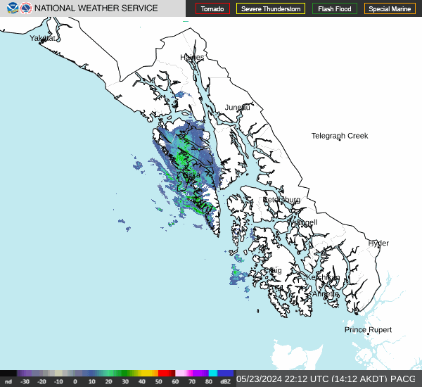
Radar & Satellite Image
Hourly Weather Forecast