News Headlines
- An active Fall weather pattern continues through the week as multiple fronts push through Southeast Alaska, next front arriving by Thursday evening. Click here to read more...
- Curious how El Nino will potentially impact SE AK this winter? Click here to see a video breakdown of what El Nino could mean for SE AK going into the fall and winter.

Hazardous Weather Conditions
Current conditions at
Stewart Airport (CZST)
Lat: 55.94°NLon: 129.98°WElev: 33ft.N/A
| Humidity | NA |
| Wind Speed | NA |
| Barometer | NA |
| Dewpoint | N/A |
| Visibility | NA |
| Last update | *** Not a current observation *** |
Extended Forecast for
26 Miles ESE Point Louise AK
Wind Advisory November 6, 01:00am until November 6, 03:00am
NOW until 3:00am Fri

Wind Advisory
Overnight

Low: 34 °F
Rain/Snow
Friday
High: 36 °F
Chance Rain
then
Rain/SnowFriday Night

Low: 32 °F
Rain/Snow
Saturday

High: 34 °F
Snow
Saturday Night

Low: 31 °F
Snow
Sunday
High: 34 °F
Snow
Sunday Night

Low: 31 °F
Snow
Monday

High: 34 °F
Snow
Detailed Forecast
Overnight
Rain, possibly mixed with snow, becoming all rain after 3am. Low around 34. South wind 20 to 25 mph, with gusts as high as 40 mph. Chance of precipitation is 90%. Little or no snow accumulation expected.
Friday
Rain before 3pm, then rain and snow. High near 36. South wind 10 to 15 mph. Chance of precipitation is 90%. Little or no snow accumulation expected.
Friday Night
Snow, possibly mixed with rain, becoming all snow after 3am. Low around 32. Southwest wind 5 to 15 mph becoming southeast after midnight. Chance of precipitation is 100%. New snow accumulation of 2 to 4 inches possible.
Saturday
Snow. High near 34. East wind 10 to 15 mph increasing to 20 to 25 mph in the afternoon. Chance of precipitation is 100%.
Saturday Night
Snow. Low around 31. East wind 15 to 25 mph. Chance of precipitation is 100%.
Sunday
Snow. High near 34. Chance of precipitation is 100%.
Sunday Night
Snow. Low around 31. Chance of precipitation is 90%.
Monday
Snow. Cloudy, with a high near 34.
Monday Night
Snow. Cloudy, with a low around 32.
Tuesday
Snow before 9am, then rain and snow. Cloudy, with a high near 35.
Tuesday Night
Rain and snow. Cloudy, with a low around 33.
Veterans Day
Rain and snow. Cloudy, with a high near 36.
Wednesday Night
Rain and snow. Cloudy, with a low around 31.
Thursday
Rain and snow. Cloudy, with a high near 33.
Basemap Options
Click map to change the forecast location
Loading map...
 Forecast Area
ABOUT THIS FORECAST
Point Forecast:
26 Miles ESE Point Louise AK
55.38°N 130.28°W (Elev. 2402 ft)
55.38°N 130.28°W (Elev. 2402 ft)
11:36 pm AKST Nov 5, 2026
1am AKST Nov 6, 2026-6pm AKST Nov 12, 2026


Additional Resources
Radar & Satellite Image

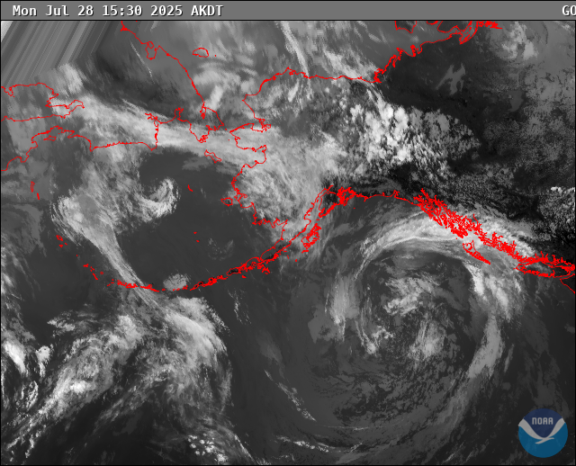
Hourly Weather Forecast