


News Headlines
- Got a new NOAA Weather Radio to receive warnings for the next Mendenhall Flood? Here are instructions for how to set it up to make sure you get the alerts!
- Rain builds from north to south on Sunday. Periods of showers expected for much of the week, with the best potential across the southern panhandle. Some pockets of sunshine possible, mainly across northern SEAK.
- To view the latest marine and land weather forecast graphics for southeast Alaska, click here...
- Click here to visit the Suicide Basin monitoring page. You can use this page for updates throughout the GLOF season to see what the condition are within the basin.

Current conditions at
Ketchikan, Ketchikan International Airport (PAKT)
Lat: 55.36°NLon: 131.71°WElev: 89ft.
Overcast
53°F
12°C
| Humidity | 100% |
| Wind Speed | SE 3 mph |
| Barometer | 29.81 in (1009.4 mb) |
| Dewpoint | 53°F (12°C) |
| Visibility | 7.00 mi |
| Last update | 26 Jul 2:53 am AKDT |
Extended Forecast for
6 Miles ESE Kasaan AK
Overnight

Low: 50 °F
Showers
LikelySunday

High: 56 °F
Showers
LikelySunday Night

Low: 50 °F
Showers
LikelyMonday
High: 60 °F
Showers then
Showers
LikelyMonday Night

Low: 50 °F
Showers
Tuesday

High: 58 °F
Showers
Tuesday Night

Low: 51 °F
Showers
Wednesday

High: 62 °F
Showers
Wednesday Night

Low: 50 °F
Showers
Likely
Detailed Forecast
Overnight
Showers likely. Cloudy, with a low around 50. Southeast wind around 5 mph. Chance of precipitation is 60%.
Sunday
Showers likely. Mostly cloudy, with a high near 56. Southeast wind 10 to 15 mph. Chance of precipitation is 60%. New precipitation amounts of less than a tenth of an inch possible.
Sunday Night
Showers likely, mainly after 10pm. Mostly cloudy, with a low around 50. Southeast wind around 15 mph. Chance of precipitation is 70%. New precipitation amounts between a tenth and quarter of an inch possible.
Monday
Showers. High near 60. Southeast wind around 10 mph. Chance of precipitation is 100%.
Monday Night
Showers. Low around 50. Southeast wind 5 to 10 mph becoming northeast after midnight. Chance of precipitation is 100%.
Tuesday
Showers. High near 58. Chance of precipitation is 100%.
Tuesday Night
Showers. Low around 51. Chance of precipitation is 80%.
Wednesday
Showers. Cloudy, with a high near 62.
Wednesday Night
Showers likely, mainly before 10pm. Mostly cloudy, with a low around 50.
Thursday
A chance of showers. Partly sunny, with a high near 60.
Thursday Night
A chance of showers. Cloudy, with a low around 51.
Friday
Showers likely. Mostly cloudy, with a high near 61.
Friday Night
Showers likely. Mostly cloudy, with a low around 51.
Saturday
A chance of showers. Mostly cloudy, with a high near 62.
Basemap Options
Click map to change the forecast location
Loading map...
 Forecast Area
ABOUT THIS FORECAST
Point Forecast:
6 Miles ESE Kasaan AK
55.51°N 132.25°W (Elev. 866 ft)
55.51°N 132.25°W (Elev. 866 ft)
3:53 am AKDT Jul 26, 2026
4am AKDT Jul 26, 2026-6pm AKDT Aug 1, 2026


Additional Resources
Radar & Satellite Image
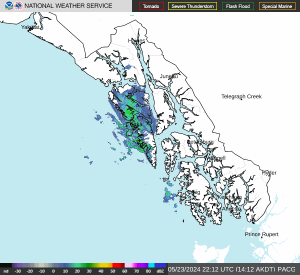

Hourly Weather Forecast


