



A Flood Warning for a Glacial Lake Outburst Flood has been issued for Mendenhall Lake and Mendenhall River. Click here to go to our Monitoring page...

Hazardous Weather Conditions
Current conditions at
Ketchikan, Ketchikan International Airport (PAKT)
Lat: 55.36°NLon: 131.71°WElev: 89ft.
Fair
69°F
21°C
| Humidity | 68% |
| Wind Speed | NW 15 mph |
| Barometer | 30.01 in (1016.3 mb) |
| Dewpoint | 58°F (14°C) |
| Visibility | 10.00 mi |
| Last update | 13 Aug 9:53 am AKDT |
Extended Forecast for
8 Miles S Bell Island Hot Springs AK
Heat Advisory August 13, 12:00pm until August 14, 07:00pm
Today
High: 79 °F
Sunny then
Slight Chance
T-stormsTonight
Low: 58 °F
Slight Chance
T-storms then
Mostly ClearFriday
High: 78 °F
Slight Chance
T-storms then
Chance
ShowersFriday Night
Low: 59 °F
Chance
Showers then
Mostly ClearSaturday
High: 75 °F
Sunny then
Chance
ShowersSaturday Night
Low: 56 °F
Chance
Showers then
Mostly ClearSunday

High: 71 °F
Mostly Sunny
Sunday Night

Low: 55 °F
Mostly Cloudy
Monday

High: 67 °F
Partly Sunny
Detailed Forecast
Today
A 10 percent chance of showers and thunderstorms after 4pm. Sunny, with a high near 79. Calm wind.
Tonight
A 20 percent chance of showers and thunderstorms before 10pm. Partly cloudy, with a low around 58. Calm wind becoming northeast around 5 mph after midnight.
Friday
A 30 percent chance of showers and thunderstorms, mainly after 1pm. Mostly sunny, with a high near 78. Northeast wind around 5 mph becoming calm.
Friday Night
A 30 percent chance of showers before 7pm. Partly cloudy, with a low around 59. Calm wind becoming northeast around 5 mph.
Saturday
A 30 percent chance of showers after 4pm. Mostly sunny, with a high near 75. Calm wind becoming southwest around 5 mph.
Saturday Night
A 30 percent chance of showers before 7pm. Mostly clear, with a low around 56.
Sunday
Mostly sunny, with a high near 71.
Sunday Night
Mostly cloudy, with a low around 55.
Monday
Partly sunny, with a high near 67.
Monday Night
Partly cloudy, with a low around 54.
Tuesday
A chance of showers. Partly sunny, with a high near 65.
Tuesday Night
A chance of showers. Mostly cloudy, with a low around 53.
Wednesday
A chance of showers. Mostly cloudy, with a high near 61.
Basemap Options
Click map to change the forecast location
Loading map...
 Forecast Area
ABOUT THIS FORECAST
Point Forecast:
8 Miles S Bell Island Hot Springs AK
55.82°N 131.58°W (Elev. 1014 ft)
55.82°N 131.58°W (Elev. 1014 ft)
6:24 am AKDT Aug 13, 2026
10am AKDT Aug 13, 2026-6pm AKDT Aug 19, 2026


Additional Resources
Radar & Satellite Image
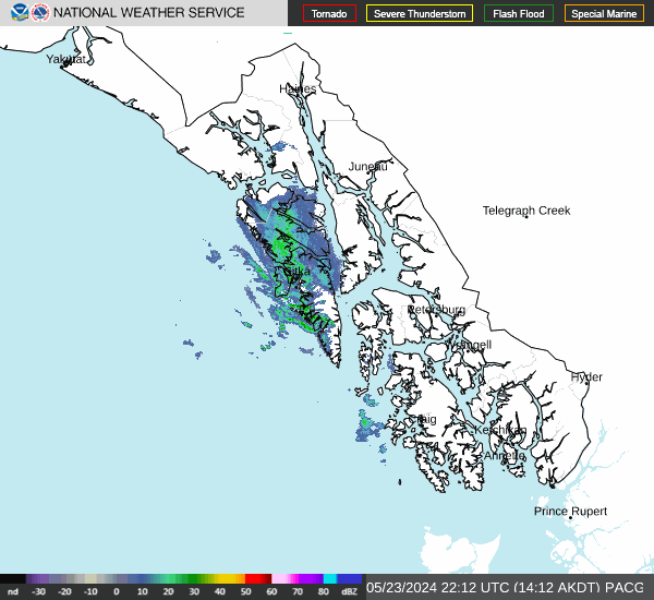

Hourly Weather Forecast


