


News Headlines
- A band of showers is pushing inland Tuesday, bringing a slight risk of isolated thunderstorms across the southern and central Panhandle. Click here to see the latest forecast discussion...
- To view the latest forecast graphics, click here...
- Click here to visit the Suicide Basin monitoring page. You can use this page for updates throughout the GLOF season to see what the condition are within the basin.

Current conditions at
Wrangell (PAWG)
Lat: 56.48°NLon: 132.37°WElev: 43ft.
Overcast
53°F
12°C
| Humidity | 86% |
| Wind Speed | Calm |
| Barometer | 29.90 in (1012.7 mb) |
| Dewpoint | 49°F (9°C) |
| Visibility | 10.00 mi |
| Last update | 7 Jul 10:56 am AKDT |
Extended Forecast for
35 Miles ENE Point Warde AK
Today

High: 41 °F
Slight Chance
T-stormsTonight

Low: 33 °F
Rain/Snow
Wednesday

High: 38 °F
Rain/Snow
Wednesday Night

Low: 34 °F
Showers
Thursday

High: 38 °F
Showers
Thursday Night
Low: 34 °F
Showers
Friday

High: 40 °F
Showers
LikelyFriday Night

Low: 34 °F
Chance
ShowersSaturday

High: 42 °F
Chance
Showers
Detailed Forecast
Today
A slight chance of showers and thunderstorms before 4pm, then a slight chance of thunderstorms after 4pm. Partly sunny, with a high near 41. South wind around 10 mph. Chance of precipitation is 20%.
Tonight
Rain showers likely before 10pm, then rain and snow showers between 10pm and 4am, then snow showers likely after 4am. Low around 33. South wind 5 to 10 mph. Chance of precipitation is 100%. New snow accumulation of less than one inch possible.
Wednesday
Rain, possibly mixed with snow showers, becoming all rain after 1pm. Some thunder is also possible. High near 38. South wind around 5 mph. Chance of precipitation is 100%. New snow accumulation of less than a half inch possible.
Wednesday Night
Showers. Low around 34. South wind around 10 mph. Chance of precipitation is 100%.
Thursday
Showers. High near 38. South wind 5 to 10 mph. Chance of precipitation is 100%.
Thursday Night
Showers, mainly before 4am. Low around 34. Chance of precipitation is 100%.
Friday
Showers likely, mainly after 10am. Cloudy, with a high near 40. Chance of precipitation is 60%.
Friday Night
A chance of showers. Mostly cloudy, with a low around 34.
Saturday
A chance of showers. Mostly cloudy, with a high near 42.
Saturday Night
A chance of showers. Mostly cloudy, with a low around 36.
Sunday
A chance of showers. Cloudy, with a high near 41.
Sunday Night
A chance of showers. Cloudy, with a low around 36.
Monday
A chance of showers. Mostly cloudy, with a high near 38.
Basemap Options
Click map to change the forecast location
Loading map...
 Forecast Area
ABOUT THIS FORECAST
Point Forecast:
35 Miles ENE Point Warde AK
56.44°N 131.2°W (Elev. 4495 ft)
56.44°N 131.2°W (Elev. 4495 ft)
10:51 am AKDT Jul 7, 2026
11am AKDT Jul 7, 2026-6pm AKDT Jul 13, 2026


Additional Resources
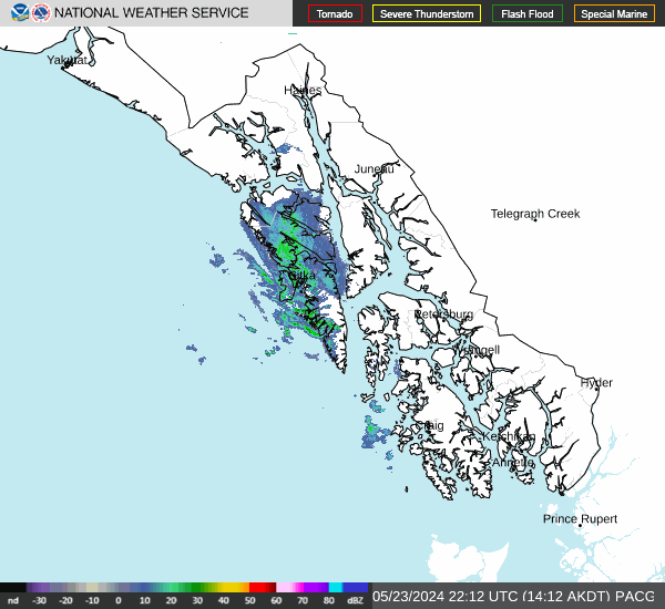
Radar & Satellite Image

Hourly Weather Forecast


