News Headlines
- Breezy winds trend downward through Tuesday evening. A stalled boundary will bring rain to portions of the northern and central panhandle through Wednesday morning. Patchy fog for southern panhandle Wednesday morning. Click here to read more...
- Curious how El Nino will potentially impact SE AK this winter? Click here to see a video breakdown of what El Nino could mean for SE AK going into the fall and winter.

Current conditions at
Juneau, Juneau International Airport (PAJN)
Lat: 58.35°NLon: 134.58°WElev: 20ft.
Overcast
46°F
8°C
| Humidity | 83% |
| Wind Speed | SE 17 mph |
| Barometer | 29.90 in (1012.8 mb) |
| Dewpoint | 41°F (5°C) |
| Visibility | 10.00 mi |
| Wind Chill | 39°F (4°C) |
| Last update | 17 Nov 5:53 pm AKST |
Extended Forecast for
15 Miles NE Eagle Beach AK
Tonight

Low: 21 °F
Heavy Snow
Wednesday
High: 24 °F⇓
Heavy Snow
then Mostly
CloudyWednesday Night

Low: 11 °F
Mostly Cloudy
Thursday

High: 24 °F
Mostly Cloudy
Thursday Night
Low: 15 °F
Chance Snow
then Mostly
CloudyFriday

High: 24 °F
Chance Snow
Friday Night
Low: 14 °F
Mostly Cloudy
Saturday
High: 21 °F
Partly Sunny
Saturday Night

Low: 8 °F
Partly Cloudy
Detailed Forecast
Tonight
Snow. The snow could be heavy at times. Low around 21. South wind 15 to 20 mph. Chance of precipitation is 100%. Total nighttime snow accumulation of 4 to 7 inches possible.
Wednesday
Snow, mainly before 9am. The snow could be heavy at times. Temperature rising to near 24 by 8am, then falling to around 16 during the remainder of the day. South wind 5 to 10 mph. Chance of precipitation is 80%. New snow accumulation of 3 to 5 inches possible.
Wednesday Night
Mostly cloudy, with a low around 11. Light east wind increasing to 5 to 10 mph in the evening.
Thursday
Mostly cloudy, with a high near 24. Northeast wind around 10 mph.
Thursday Night
A chance of snow between 9pm and midnight. Mostly cloudy, with a low around 15. East wind 10 to 15 mph. Chance of precipitation is 40%.
Friday
A chance of snow between 9am and 3pm. Mostly cloudy, with a high near 24. Chance of precipitation is 30%.
Friday Night
Mostly cloudy, with a low around 14.
Saturday
Partly sunny, with a high near 21.
Saturday Night
Partly cloudy, with a low around 8.
Sunday
Mostly sunny, with a high near 16.
Sunday Night
Partly cloudy, with a low around 6.
Monday
A chance of snow. Mostly sunny, with a high near 17.
Monday Night
A chance of snow. Mostly cloudy, with a low around 10.
Tuesday
A chance of snow. Mostly cloudy, with a high near 21.
Basemap Options
Click map to change the forecast location
Loading map...
 Forecast Area
ABOUT THIS FORECAST
Point Forecast:
15 Miles NE Eagle Beach AK
58.65°N 134.47°W (Elev. 5056 ft)
58.65°N 134.47°W (Elev. 5056 ft)
3:01 pm AKST Nov 17, 2026
6pm AKST Nov 17, 2026-6pm AKST Nov 24, 2026


Additional Resources
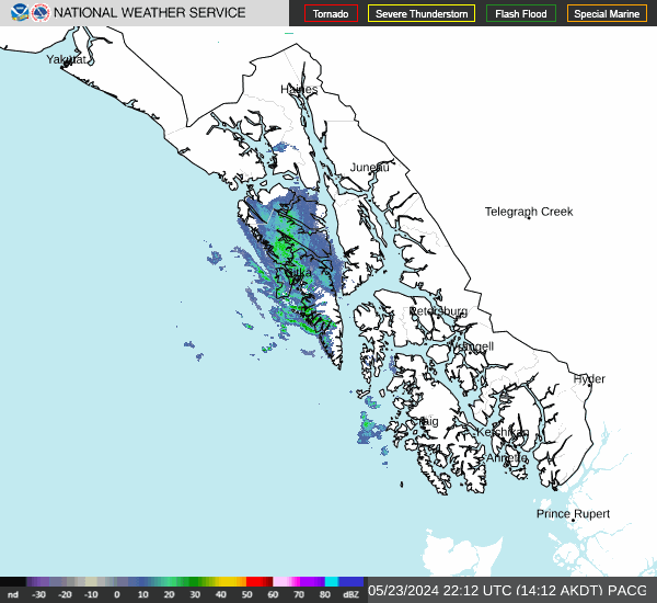
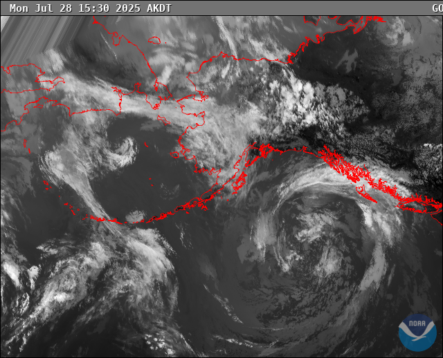
Radar & Satellite Image
Hourly Weather Forecast