


News Headlines
- Warm temperatures continue into late week with highs in the mid to upper 70s. Some low 80s possible still for inland areas, while areas by water may get a cooling afternoon sea breeze. Warmer and drier weather pattern expected through the weekend.
- To view the latest marine and land weather forecast graphics for southeast Alaska, click here...

Current conditions at
Gustavus, Gustavus Airport (PAGS)
Lat: 58.42°NLon: 135.7°WElev: 33ft.
Fair
83°F
28°C
| Humidity | 27% |
| Wind Speed | W 3 mph |
| Barometer | 29.99 in (1015.5 mb) |
| Dewpoint | 46°F (8°C) |
| Visibility | 10.00 mi |
| Heat Index | 81°F (27°C) |
| Last update | 14 Aug 5:56 pm AKDT |
Extended Forecast for
7 Miles NW Tlingit Point AK
Tonight

Low: 53 °F
Mostly Clear
Saturday

High: 70 °F
Sunny
Saturday Night

Low: 50 °F
Increasing
CloudsSunday

High: 62 °F
Mostly Cloudy
Sunday Night

Low: 51 °F
Showers
LikelyMonday

High: 58 °F
Showers
Monday Night

Low: 50 °F
Showers
Tuesday

High: 59 °F
Showers
LikelyTuesday Night

Low: 48 °F
Showers
Likely
Detailed Forecast
Tonight
Mostly clear, with a low around 53. North wind around 5 mph.
Saturday
Sunny, with a high near 70. Calm wind becoming southwest around 5 mph in the afternoon.
Saturday Night
Increasing clouds, with a low around 50. Southwest wind around 5 mph becoming north in the evening.
Sunday
Mostly cloudy, with a high near 62. Calm wind becoming southwest around 5 mph.
Sunday Night
Showers likely after 10pm. Mostly cloudy, with a low around 51. South wind around 5 mph becoming calm. Chance of precipitation is 60%.
Monday
Showers. High near 58. Chance of precipitation is 100%.
Monday Night
Showers. Low around 50. Chance of precipitation is 100%.
Tuesday
Showers likely, mainly before 10am. Cloudy, with a high near 59.
Tuesday Night
Showers likely, mainly after 4am. Cloudy, with a low around 48.
Wednesday
Showers likely, mainly before 10am. Cloudy, with a high near 56.
Wednesday Night
Showers likely. Cloudy, with a low around 48.
Thursday
Showers likely. Cloudy, with a high near 57.
Thursday Night
Showers likely. Cloudy, with a low around 47.
Friday
Showers likely. Cloudy, with a high near 58.
Basemap Options
Click map to change the forecast location
Loading map...
 Forecast Area
ABOUT THIS FORECAST
Point Forecast:
7 Miles NW Tlingit Point AK
58.84°N 136.29°W (Elev. 1401 ft)
58.84°N 136.29°W (Elev. 1401 ft)
6:10 pm AKDT Aug 14, 2026
6pm AKDT Aug 14, 2026-6pm AKDT Aug 21, 2026


Additional Resources
Radar & Satellite Image
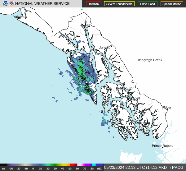

Hourly Weather Forecast


