


News Headlines
- A brief break in active weather Monday before a system clips the southern panhandle Tuesday morning, bringing another round of rain. Onshore flow keeps light rain showers over the north ahead of a stronger late week system. Click here to read more....
- To view the latest marine and land weather forecast graphics for Southeast Alaska, click here...

Hazardous Weather Conditions
Current conditions at
Haines - Haines Airport (PAHN)
Lat: 59.24°NLon: 135.51°WElev: 49ft.
Overcast
45°F
7°C
| Humidity | 86% |
| Wind Speed | W 8 mph |
| Barometer | 29.86 in (1011.3 mb) |
| Dewpoint | 41°F (5°C) |
| Visibility | 10.00 mi |
| Wind Chill | 41°F (5°C) |
| Last update | 12 Oct 10:54 am AKDT |
Extended Forecast for
25 Miles NE Cape Fairweather AK
Columbus Day

High: 17 °F
Chance Snow
ShowersTonight

Low: 14 °F
Snow Showers
Tuesday
High: 16 °F
Chance Snow
ShowersTuesday Night

Low: 12 °F
Snow Likely
Wednesday
High: 17 °F
Chance Snow
Wednesday Night

Low: 15 °F
Snow Showers
LikelyThursday

High: 25 °F
Heavy Snow
Thursday Night

Low: 18 °F
Heavy Snow
Friday

High: 20 °F
Heavy Snow
Detailed Forecast
Columbus Day
A 50 percent chance of snow showers, mainly after 4pm. Partly sunny, with a high near 17. Southwest wind around 15 mph.
Tonight
Snow showers, mainly between 7pm and 4am. Low around 14. Southwest wind around 15 mph. Chance of precipitation is 90%. New snow accumulation of 4 to 6 inches possible.
Tuesday
A chance of snow showers before 10am, then a chance of snow after 10am. Mostly cloudy, with a high near 16. Southwest wind around 10 mph. Chance of precipitation is 50%.
Tuesday Night
Snow likely. Mostly cloudy, with a low around 12. Southwest wind around 10 mph. Chance of precipitation is 60%.
Wednesday
A chance of snow before 10am, then a chance of snow showers after 10am. Mostly cloudy, with a high near 17. Southwest wind around 10 mph. Chance of precipitation is 50%.
Wednesday Night
Snow showers likely, mainly after 1am. Mostly cloudy, with a low around 15. Chance of precipitation is 70%.
Thursday
Snow showers. The snow could be heavy at times. High near 25. Chance of precipitation is 100%.
Thursday Night
Snow showers. The snow could be heavy at times. Cloudy, with a low around 18.
Friday
Snow showers. The snow could be heavy at times. Cloudy, with a high near 20.
Friday Night
Snow showers likely. Mostly cloudy, with a low around 12.
Saturday
Snow showers likely. Mostly cloudy, with a high near 16.
Saturday Night
Snow showers likely. Mostly cloudy, with a low around 11.
Sunday
Snow likely. Mostly cloudy, with a high near 16.
Basemap Options
Click map to change the forecast location
Loading map...
 Forecast Area
ABOUT THIS FORECAST
Point Forecast:
25 Miles NE Cape Fairweather AK
59.1°N 137.55°W (Elev. 7736 ft)
59.1°N 137.55°W (Elev. 7736 ft)
11:27 am AKDT Oct 12, 2026
11am AKDT Oct 12, 2026-6pm AKDT Oct 18, 2026


Additional Resources
Radar & Satellite Image
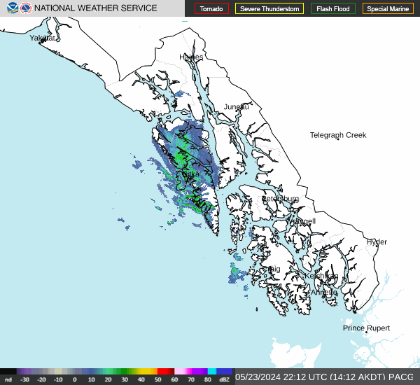

Hourly Weather Forecast


