News Headlines
- The active weather pattern remains for SE AK for the upcoming week with multiple systems pushing through. Monday will see breezy to windy conditions and moderate to heavy rain, as well as snow for the northern highways. Click here to read more...
- Curious how El Nino will potentially impact SE AK this winter? Click here to see a video breakdown of what El Nino could mean for SE AK going into the fall and winter.

Hazardous Weather Conditions
Current conditions at
Yakutat (PAYA)
Lat: 59.52°NLon: 139.67°WElev: 36ft.
Light Rain and Breezy
43°F
6°C
| Humidity | 80% |
| Wind Speed | E 24 G 36 mph |
| Barometer | 29.07 in (984.4 mb) |
| Dewpoint | 37°F (3°C) |
| Visibility | 9.00 mi |
| Wind Chill | 34°F (1°C) |
| Last update | 9 Nov 12:53 pm AKST |
Extended Forecast for
9 Miles NW Icy Cape AK
Wind Advisory November 9, 03:00pm until November 10, 05:00am
This Afternoon

High: 40 °F
Rain/Snow
Tonight

Low: 34 °F
Rain/Snow
Tuesday
High: 39 °F
Rain/Snow
then
Rain/Snow
LikelyTuesday Night
Low: 34 °F
Rain/Snow
Veterans Day
High: 38 °F
Rain/Snow
then SnowWednesday Night

Low: 30 °F
Snow
Thursday
High: 33 °F
Snow then
Snow LikelyThursday Night

Low: 28 °F
Mostly Cloudy
Friday

High: 35 °F
Mostly Cloudy
Detailed Forecast
This Afternoon
Rain, possibly mixed with snow. The rain could be heavy at times. High near 40. East wind 45 to 50 mph, with gusts as high as 70 mph. Chance of precipitation is 100%. Total daytime snow accumulation of around an inch possible.
Tonight
Rain and snow. The rain could be heavy at times. Low around 34. East wind 45 to 50 mph, with gusts as high as 70 mph. Chance of precipitation is 100%. New snow accumulation of less than a half inch possible.
Tuesday
Rain and snow. High near 39. Northeast wind 25 to 35 mph decreasing to 15 to 25 mph in the afternoon. Chance of precipitation is 100%. New snow accumulation of less than one inch possible.
Tuesday Night
Rain and snow before midnight, then rain between midnight and 3am, then rain and snow likely after 3am. Low around 34. East wind 20 to 25 mph decreasing to 10 to 15 mph after midnight. Chance of precipitation is 100%.
Veterans Day
Rain likely before 9am, then snow. High near 38. East wind 5 to 15 mph. Chance of precipitation is 100%.
Wednesday Night
Snow. Low around 30. Chance of precipitation is 100%.
Thursday
Snow, mainly before 3pm. High near 33. Chance of precipitation is 100%.
Thursday Night
Mostly cloudy, with a low around 28.
Friday
Mostly cloudy, with a high near 35.
Friday Night
Mostly cloudy, with a low around 30.
Saturday
Mostly cloudy, with a high near 34.
Saturday Night
A chance of snow. Mostly cloudy, with a low around 29.
Sunday
A chance of snow. Mostly cloudy, with a high near 33.
Basemap Options
Click map to change the forecast location
Loading map...
 Forecast Area
ABOUT THIS FORECAST
Point Forecast:
9 Miles NW Icy Cape AK
60.04°N 141.93°W (Elev. 2231 ft)
60.04°N 141.93°W (Elev. 2231 ft)
9:55 am AKST Nov 9, 2026
12pm AKST Nov 9, 2026-6pm AKST Nov 15, 2026


Additional Resources
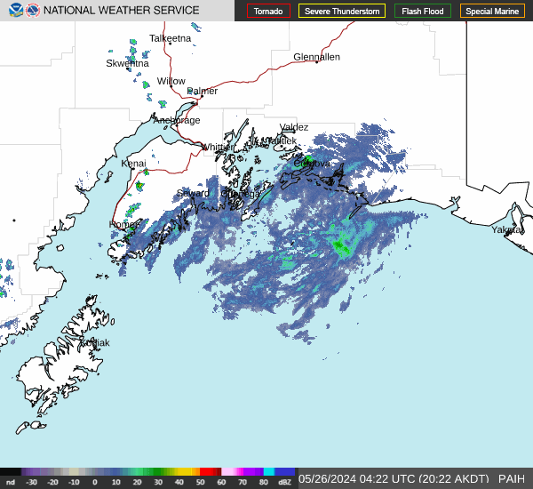
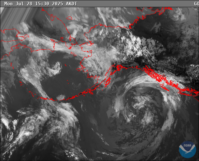
Radar & Satellite Image
Hourly Weather Forecast