Isaias Expected To Be A Strong Hurricane Approaching The Northern Gulf Coast

Isaias is expected to strengthen and be a strong hurricane when it approaches the northern Gulf Coast on Friday. There is an increasing risk of damaging hurricane-force winds and life-threatening storm surge impacts Friday into Saturday. Isaias will bring heavy rainfall to the northern Gulf Coast and much of the Southeast U.S. Friday into the weekend. Read More >

Current conditions at

Elkins, Elkins-Randolph County-Jennings Randolph Field (KEKN)

Lat: 38.89°NLon: 79.85°WElev: 1985ft.

Fair

50°F

10°C

Humidity 89%
Wind Speed Calm
Barometer 29.97 in (1015.7 mb)
Dewpoint 47°F (8°C)
Visibility 10.00 mi
Last update 7 Oct 8:51 pm EDT
Extended Forecast for

4 Miles W Circleville WV

  • Tonight

    Tonight: Mostly clear, with a low around 50. West wind 6 to 14 mph, with gusts as high as 18 mph.

    Low: 50 °F

    Mostly Clear

  • Thursday

    Thursday: Sunny, with a high near 59. Northwest wind 10 to 13 mph, with gusts as high as 25 mph.

    High: 59 °F

    Sunny

  • Thursday Night

    Thursday Night: Clear, with a low around 43. West wind 5 to 7 mph, with gusts as high as 18 mph.

    Low: 43 °F

    Clear

  • Friday

    Friday: Sunny, with a high near 61. Northwest wind 5 to 7 mph.

    High: 61 °F

    Sunny

  • Friday Night

    Friday Night: Partly cloudy, with a low around 47. Calm wind becoming south around 5 mph after midnight.

    Low: 47 °F

    Partly Cloudy

  • Saturday

    Saturday: Partly sunny, with a high near 62.

    High: 62 °F

    Partly Sunny

  • Saturday Night

    Saturday Night: Showers.  Low around 48. Chance of precipitation is 100%.

    Low: 48 °F

    Showers

  • Sunday

    Sunday: Showers and possibly a thunderstorm.  High near 55. Chance of precipitation is 80%.

    High: 55 °F

    Showers

  • Sunday Night

    Sunday Night: Showers likely, mainly before 2am.  Cloudy, with a low around 52. Chance of precipitation is 60%.

    Low: 52 °F

    Showers
    Likely

Detailed Forecast

Tonight
Mostly clear, with a low around 50. West wind 6 to 14 mph, with gusts as high as 18 mph.
Thursday
Sunny, with a high near 59. Northwest wind 10 to 13 mph, with gusts as high as 25 mph.
Thursday Night
Clear, with a low around 43. West wind 5 to 7 mph, with gusts as high as 18 mph.
Friday
Sunny, with a high near 61. Northwest wind 5 to 7 mph.
Friday Night
Partly cloudy, with a low around 47. Calm wind becoming south around 5 mph after midnight.
Saturday
Partly sunny, with a high near 62.
Saturday Night
Showers. Low around 48. Chance of precipitation is 100%.
Sunday
Showers and possibly a thunderstorm. High near 55. Chance of precipitation is 80%.
Sunday Night
Showers likely, mainly before 2am. Cloudy, with a low around 52. Chance of precipitation is 60%.
Columbus Day
A chance of showers, mainly before 8am. Mostly cloudy, with a high near 58. Chance of precipitation is 30%.
Monday Night
Mostly cloudy, with a low around 50.
Tuesday
A chance of showers. Partly sunny, with a high near 58. Chance of precipitation is 40%.
Tuesday Night
A chance of showers. Mostly cloudy, with a low around 37. Chance of precipitation is 30%.
Wednesday
Mostly sunny, with a high near 50.
Basemap Options
Click map to change the forecast location
Loading map...

ABOUT THIS FORECAST

 
Point Forecast:
4 Miles W Circleville WV
 38.67°N 79.58°W (Elev. 3346 ft)
9:29 pm EDT Oct 7, 2026
9pm EDT Oct 7, 2026-6pm EDT Oct 14, 2026
 
Get as KML Get as XML

Additional Resources

Radar & Satellite Image
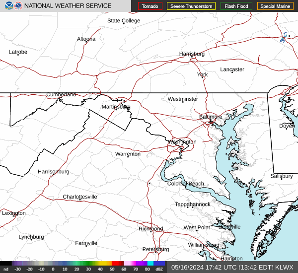
Link to Local Radar Data Link to Satellite Data

Hourly Weather Forecast

National Digital Forecast Database