Nor'easter Bringing Dangerous Coastal Conditions to the Mid-Atlantic; Pacific Storm to Impact the Southwest U.S.
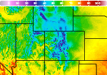
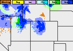
A Nor'easter well off the East Coast will slowly track north this week and may gain some subtropical characteristics. Strong onshore winds will bring flooding, dangerous marine conditions, and beach erosion along the Mid-Atlantic coast. A Pacific storm will bring gusty winds, showers and thunderstorms, and mountain snow to portions of California and the Southwest U.S. Wednesday and Thursday. Read More >

Current conditions at
Broomfield / Jeffco (KBJC)
Lat: 39.9° N Lon: 105.1° W Elev: 5551 ft.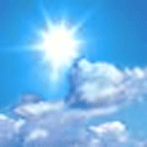
Fair
72°F
22°C
| Humidity | 27% |
| Wind Speed | NE 12 G 18 mph |
| Barometer | 30.19 in |
| Dewpoint | 36°F (2°C) |
| Visibility | 10.00 mi |
| Last update | 20 Oct 3:58 pm MDT |
Detailed forecast for
Boulder And Jefferson Counties Below 6000 Feet/West Broomfield County
Rest Of Today
Mostly sunny. Slight chance of showers late in the afternoon. Highs in the lower to mid 70s. Chance of rain 10 percent.
Tonight
Mostly clear. Lows 42 to 50.
Wednesday
Partly cloudy. Highs 72 to 78.
Wednesday Night
Mostly cloudy. Lows 45 to 53.
Thursday And Thursday Night
Mostly cloudy. Highs in the lower to mid 70s. Lows 48 to 54.
Friday
Partly cloudy. Highs 74 to 80.
Friday Night And Saturday
Partly cloudy with a 20 percent chance of showers. Cooler. Lows 42 to 48. Highs 53 to 59.
Saturday Night
Mostly cloudy with a 30 percent chance of rain showers. Lows 34 to 42.
Sunday
Mostly cloudy with a 10 percent chance of rain showers. Highs 54 to 60.
Sunday Night And Monday
Partly cloudy with a 20 percent chance of rain showers. Lows 35 to 41. Highs 52 to 58.
Monday Night
Partly cloudy with a 10 percent chance of rain showers. Lows 34 to 40.
Tuesday
Partly cloudy. Highs 57 to 63.
Additional Forecasts and Information
Basemap Options
Click map to change the forecast location
Loading map...
 Forecast Area
Additional Resources
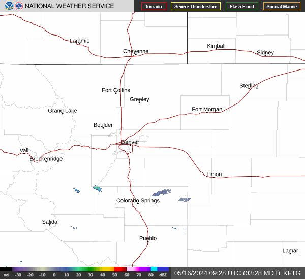
Radar & Satellite Image

Hourly Weather Forecast