Hazardous Weather Conditions
Last Update: 157 AM EST Sun Nov 8 2026
For More Weather Information:
44NM S Montauk NY
Marine Zone Forecast
Today
W winds 25 to 30 kt, diminishing to 20 to 25 kt this afternoon. Seas 7 to 10 ft, occasionally to 13 ft, subsiding to 6 to 8 ft, occasionally to 10 ft this afternoon. Wave detail: W 9 ft at 7 seconds and SE 3 ft at 9 seconds, becoming W 7 ft at 7 seconds and SE 2 ft at 10 seconds.
Tonight
W winds 20 to 25 kt with gusts up to 30 kt. Seas 6 to 8 ft, occasionally to 10 ft. Wave detail: W 8 ft at 7 seconds and SE 3 ft at 11 seconds.
Mon
W winds 20 to 25 kt, becoming NW 25 to 30 kt in the afternoon. Seas 7 to 9 ft, occasionally to 11 ft. Wave detail: W 8 ft at 7 seconds and SE 3 ft at 11 seconds. Slight chance of showers in the morning, then chance of showers in the afternoon.
Mon Night
NW winds 20 to 25 kt, diminishing to 15 to 20 kt after midnight. Seas 6 to 9 ft, occasionally to 11 ft, subsiding to 5 to 7 ft, occasionally to 9 ft after midnight. Wave detail: W 8 ft at 7 seconds and SE 3 ft at 11 seconds, becoming NW 7 ft at 6 seconds and SE 3 ft at 11 seconds.
Tue
W winds 15 to 20 kt, increasing to 20 to 25 kt in the afternoon. Seas 5 to 7 ft, occasionally to 9 ft. Wave detail: W 6 ft at 6 seconds and SE 3 ft at 11 seconds.
Tue Night
W winds 20 to 25 kt, diminishing to 15 to 20 kt after midnight. Seas 5 to 7 ft, occasionally to 9 ft. Wave detail: W 6 ft at 6 seconds and SE 2 ft at 11 seconds.
Wed
W winds 10 to 15 kt with gusts up to 20 kt. Seas 3 to 5 ft, occasionally to 6 ft.
Wed Night
N winds 10 to 15 kt. Seas 2 to 3 ft.
Thu
NE winds 10 to 15 kt with gusts up to 20 kt. Seas 2 to 3 ft. Chance of rain.
Thu Night
NE winds 25 to 30 kt. Seas 5 to 7 ft, occasionally to 9 ft. Rain.
Additional Forecasts and Information
Basemap Options
Click map to change the forecast location
Loading map...
 Forecast Area
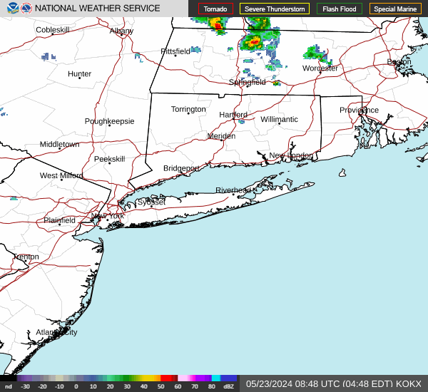
RADAR & SATELLITE IMAGES