



Areas of Severe Thunderstorms and Excessive Rainfall Thursday
Severe thunderstorms posing a risk for strong gusts and/or large hail are possible across portions of the northern and central Plains, the Lower Missouri to Lower Ohio Valleys, and across the Mid-Atlantic Thursday afternoon and evening. Excessive rainfall may bring flash and urban flooding over the Mid-Mississippi and Ohio Valleys, and Mid-Atlantic on Thursday. Read More >

Current conditions at
Pago Pago, AS, Samoa (NSTU)
Lat: 14.33° S Lon: 170.71° W Elev: 9 ft.
Showers Rain
77°F
25°C
| Humidity | 95% |
| Wind Speed | S 8 mph |
| Barometer | 29.77 in (1008.1 mb) |
| Dewpoint | 75°F (24°C) |
| Visibility | 2.00 mi |
| Heat Index | 78°F (26°C) |
| Last update | 8 Jul 4:50 pm SST |
Detailed forecast for
Rose Atoll County
Tonight
Cloudy. Widespread showers and a slight chance of thunderstorms. Lows around 78. North-northwest winds 10 to 15 mph turning south after midnight with higher gusts.
Thursday
Mostly cloudy. Numerous showers. Highs around 83. south winds 5 to 10 mph.
Thursday Night Through Wednesday
Mostly cloudy. Scattered showers. Lows in the upper 70s. Highs in the mid 80s. Southeast winds 10 to 20 mph.
Additional Forecasts and Information
Basemap Options
Click map to change the forecast location
Loading map...
 Forecast Area
Additional Resources
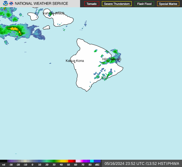
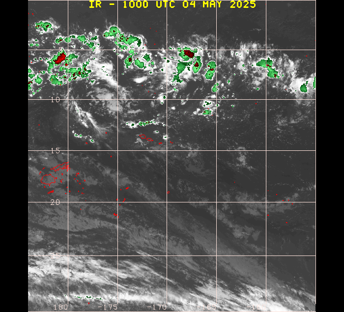
Radar & Satellite Image
Hourly Weather Forecast


