



Heavy Rainfall This Weekend in the Southern Plains and in South Florida; Bering Sea Storm in Alaska
A slow moving front will produce a threat for heavy rainfall and severe weather from New Mexico into the western High Plains through the weekend. Heavy rainfall is also expected this weekend in South Florida. The Bering Sea storm continues to bring heavy precipitation, strong winds, and minor to major coastal flooding through the weekend across western Alaska. Read More >

Current conditions at
Kingman, Kingman Airport (KIGM)
Lat: 35.25778° N Lon: 113.93306° W Elev: 3445.0 ft.
Clear
63°F
17°C
| Humidity | 39% |
| Wind Speed | WNW 3 MPH |
| Barometer | 30.0 in (1015.92 mb) |
| Dewpoint | 37°F (3°C) |
| Visibility | 10.00 mi |
| Last update | 23 Oct 12:35 PM MST |
Detailed forecast for
Northwest Deserts
Rest Of Today
Sunny. Highs 65 to 68. Southwest winds up to 10 mph.
Tonight
Mostly clear. Lows around 50. North winds up to 10 mph.
Saturday
Sunny. Highs around 70. North winds up to 10 mph shifting to the northwest in the afternoon.
Saturday Night
Mostly clear. Lows 49 to 52. Northeast winds up to 10 mph.
Sunday
Sunny. Highs around 70. Northeast winds up to 5 mph shifting to the northwest in the afternoon.
Sunday Night Through Tuesday Night
Mostly clear. Lows 52 to 55. Highs 71 to 74.
Wednesday And Wednesday Night
Partly cloudy. Highs 73 to 76. Lows 54 to 57.
Thursday
Partly sunny. Highs 70 to 73.
Basemap Options
Click map to change the forecast location
Loading map...
 Forecast Area
Additional Resources
Radar & Satellite Image
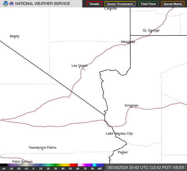

Hourly Weather Forecast


