Precipitation in the Pacific Northwest into the Northern Rockies; Bering Sea Storm in Alaska
A Pacific storm will bring rain and high elevation snow from the Pacific Northwest into the Northern Rockies. A series of storms are expected to move through the Bering Sea bringing strong winds, heavy precipitation, and elevated water levels from the West Coast to northern Alaska. Read More >
Hazardous Weather Conditions

Current conditions at
Saguache, Saguache Municipal Airport (K04V)
Lat: 38.1° N Lon: 106.17° W Elev: 7825 ft.
Partly Cloudy
50°F
10°C
| Humidity | 54% |
| Wind Speed | SE 7 mph |
| Barometer | 30.33 in |
| Dewpoint | 34°F (1°C) |
| Visibility | 10.00 mi |
| Wind Chill | 47°F (8°C) |
| Last update | 26 Oct 1:15 pm MDT |
Detailed forecast for
Del Norte Vicinity/Northern San Luis Valley Below 8500 Ft
Rest Of Today
Sunny. Highs 47 to 52. Light winds.
Tonight
Partly cloudy. Lows 25 to 31. Light winds.
Tuesday
Mostly sunny. Highs 50 to 59. South winds up to 10 mph.
Tuesday Night
Mostly cloudy. Lows 25 to 32. Southwest winds up to 10 mph.
Wednesday
Mostly cloudy. Highs 52 to 61. Southwest winds around 10 mph.
Wednesday Night
Partly cloudy. Lows 24 to 31.
Thursday And Thursday Night
Mostly cloudy. Highs 51 to 56. Lows 28 to 34.
Friday
Partly sunny with a 10 percent chance of showers. Highs 51 to 57.
Friday Night
Mostly cloudy with a 30 percent chance of showers. Lows 31 to 36.
Saturday
Partly sunny with a 20 percent chance of showers. Highs 49 to 55.
Saturday Night
Mostly cloudy with a 10 percent chance of showers. Lows 30 to 35.
Sunday
Mostly cloudy with a 30 percent chance of rain and snow showers. Highs 45 to 53.
Additional Forecasts and Information
Basemap Options
Click map to change the forecast location
Loading map...
 Forecast Area
Additional Resources
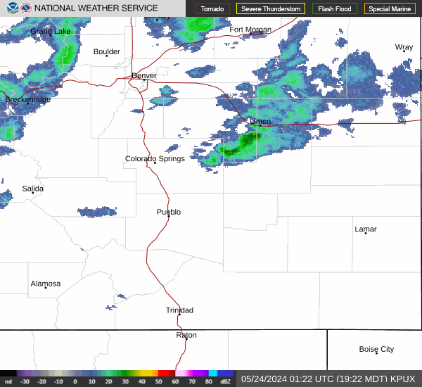
Radar & Satellite Image

Hourly Weather Forecast