Precipitation in the Pacific Northwest into the Northern Rockies; Bering Sea Storm in Alaska
A Pacific storm will bring rain and high elevation snow from the Pacific Northwest into the Northern Rockies. A series of storms are expected to move through the Bering Sea bringing strong winds, heavy precipitation, and elevated water levels from the West Coast to northern Alaska. Read More >
Hazardous Weather Conditions

Current conditions at
Lamar Municipal Airport (KLAA)
Lat: 38.07° N Lon: 102.69° W Elev: 3684 ft.
Overcast
56°F
13°C
| Humidity | 87% |
| Wind Speed | W 9 mph |
| Barometer | 30.22 in (1021.2 mb) |
| Dewpoint | 52°F (11°C) |
| Visibility | 10.00 mi |
| Last update | 26 Oct 10:53 am MDT |
Detailed forecast for
Las Animas Vicinity/Bent County
Rest Of Today
Mostly sunny. Highs in the lower to mid 60s. West winds around 10 mph late in the morning becoming light.
Tonight
Mostly cloudy. Lows 39 to 44. Southeast winds around 10 mph.
Tuesday
Mostly cloudy in the morning then becoming mostly sunny. Highs in the upper 60s. South winds up to 10 mph.
Tuesday Night
Mostly cloudy. Lows 38 to 44. Southwest winds around 10 mph.
Wednesday
Sunny. Highs in the lower 70s. West winds 10 to 15 mph.
Wednesday Night
Partly cloudy. Lows 37 to 42.
Thursday And Thursday Night
Mostly cloudy. Highs in the mid to upper 60s. Lows 40 to 47.
Friday
Mostly cloudy with a 20 percent chance of showers. Highs near 70.
Friday Night
Mostly cloudy. Lows 42 to 47.
Saturday
Partly sunny. Highs in the mid to upper 60s. Chance of precipitation 10 percent.
Saturday Night
Partly cloudy. Lows 41 to 46.
Sunday
Partly sunny with a 10 percent chance of showers. Highs in the mid to upper 60s.
Basemap Options
Click map to change the forecast location
Loading map...
 Forecast Area
Additional Resources
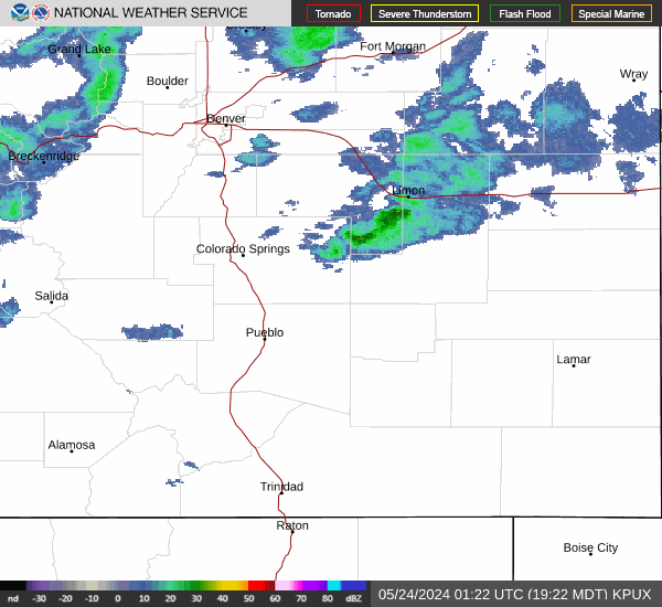
Radar & Satellite Image

Hourly Weather Forecast