Flooding Risks from Tropical Moisture Across the Southeast and Southwest
Tropical moisture from Isaias and Rachel will impact portions of the Southeast and Southwest this weekend. Flash flooding, strong winds and even a threat for severe thunderstorms and tornadoes are possible. Meanwhile, strong winds and dry fuels are raising fire weather concerns across the central Great Basin and western High Plains. Across the northern Rockies, first winter storm of the season. Read More >

Last Update: 157 AM CDT Sun Oct 11 2026
For More Weather Information:
25NM SSE Seadrift TX
Marine Zone Forecast
Rest Of Tonight
Southeast winds 10 to 15 knots. Seas around 3 feet. Wave detail: east 3 feet at 7 seconds.
Sunday
Southeast winds 10 to 15 knots with gusts up to 20 knots. Seas 3 to 4 feet, occasionally to 5 feet. Wave detail: southeast 4 feet at 5 seconds.
Sunday Night
Southeast winds 10 to 15 knots with gusts up to 20 knots. Seas 4 to 5 feet, occasionally to 6 feet. Wave detail: southeast 4 feet at 6 seconds. A slight chance of showers after midnight.
Monday
Southeast winds 10 to 15 knots. Seas 3 to 4 feet, occasionally to 5 feet. Wave detail: southeast 4 feet at 6 seconds. A chance of showers and thunderstorms.
Monday Night
Southeast winds 10 to 15 knots. Seas around 3 feet. Wave detail: southeast 3 feet at 6 seconds. A chance of showers with a slight chance of thunderstorms in the evening.
Tuesday
Southeast winds 10 to 15 knots. Seas around 3 feet. Wave detail: south 3 feet at 6 seconds. A chance of showers in the afternoon.
Tuesday Night
Southeast winds 10 to 15 knots with gusts up to 20 knots. Seas 3 to 4 feet, occasionally to 5 feet.
Wednesday
Southeast winds 10 to 15 knots. Seas 3 to 4 feet, occasionally to 5 feet.
Wednesday Night
Southeast winds around 15 knots. Seas around 4 feet, occasionally to 5 feet.
Thursday
Southeast winds 10 to 15 knots. Seas 3 to 4 feet, occasionally to 5 feet.
Thursday Night
Southeast winds 10 to 15 knots, diminishing to 5 to 10 knots after midnight. Seas around 3 feet.
winds and seas higher in and near thunderstorms.
winds and seas higher in and near thunderstorms.
Winds and seas higher in and near thunderstorms.
Additional Forecasts and Information
Basemap Options
Click map to change the forecast location
Loading map...
 Forecast Area
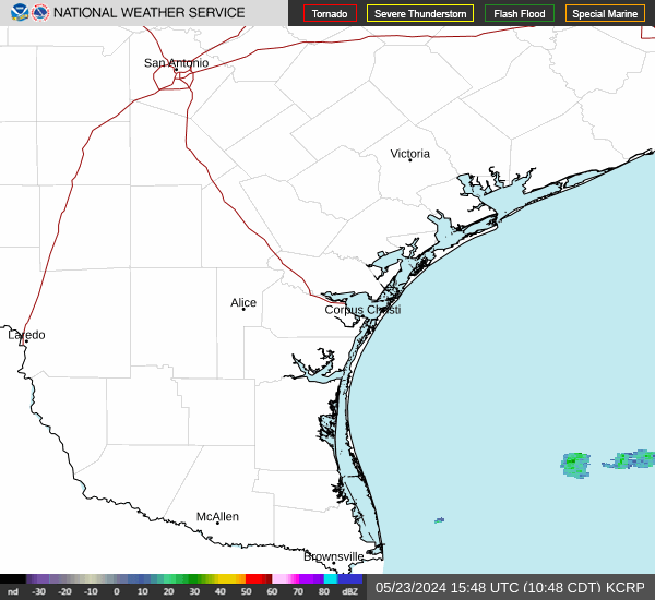
RADAR & SATELLITE IMAGES