Hazardous Weather Conditions
Last Update: 640 PM CDT Sun Oct 4 2026
For More Weather Information:
42NM SSE Galveston TX
Marine Zone Forecast
Tonight
Northeast winds around 20 knots, increasing to 20 to 25 knots late. Seas 4 to 6 feet, occasionally to 8 feet. Wave detail: east 5 feet at 6 seconds. A chance of thunderstorms. Showers.
Monday
Northeast winds 20 to 25 knots with gusts up to 30 knots. Seas 5 to 7 feet, occasionally to 9 feet. Wave detail: east 6 feet at 7 seconds. A chance of thunderstorms. Showers likely, mainly in the morning.
Monday Night
Northeast winds 15 to 20 knots with gusts up to 25 knots. Seas 4 to 6 feet, occasionally to 8 feet. Wave detail: east 6 feet at 7 seconds. A chance of showers.
Tuesday
Northeast winds 15 to 20 knots with gusts up to 25 knots. Seas 4 to 5 feet. Wave detail: northeast 5 feet at 5 seconds. A chance of showers.
Tuesday Night
Northeast winds around 15 knots with gusts up to 20 knots. Seas 3 to 5 feet. Wave detail: northeast 4 feet at 5 seconds. A chance of showers.
Wednesday
Northeast winds 15 to 20 knots with gusts up to 25 knots. Seas 3 to 4 feet. Wave detail: northeast 4 feet at 5 seconds. A chance of thunderstorms. Showers likely, mainly in the morning.
Wednesday Night
Northeast winds 15 to 20 knots with gusts up to 25 knots. Seas 4 to 5 feet. A chance of showers and thunderstorms.
Thursday
Northeast winds 20 to 25 knots. Seas 4 to 6 feet, occasionally to 8 feet. Showers likely with a chance of thunderstorms.
Thursday Night
Northeast winds 20 to 25 knots. Seas 6 to 7 feet, occasionally to 9 feet. A chance of thunderstorms. A chance of showers in the evening, then showers likely after midnight.
Friday
Northeast winds 25 to 30 knots. Seas 6 to 8 feet, occasionally to 10 feet, building to 8 to 9 feet, occasionally to 11 feet in the afternoon. Showers likely with a chance of thunderstorms.
Friday Night
Northeast winds 25 to 30 knots. Seas 8 to 9 feet, occasionally to 11 feet. A chance of showers.
winds and seas higher in and near thunderstorms.
winds and seas higher in and near thunderstorms.
Winds and seas higher in and near thunderstorms.
Additional Forecasts and Information
Basemap Options
Click map to change the forecast location
Loading map...
 Forecast Area
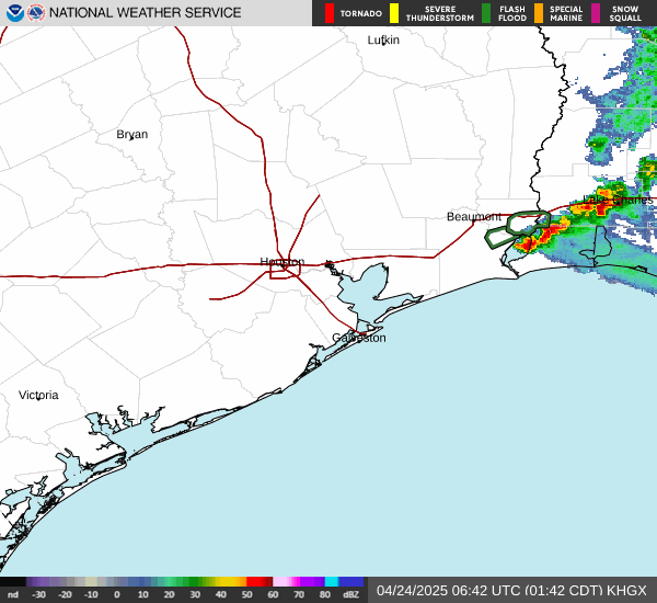
RADAR & SATELLITE IMAGES